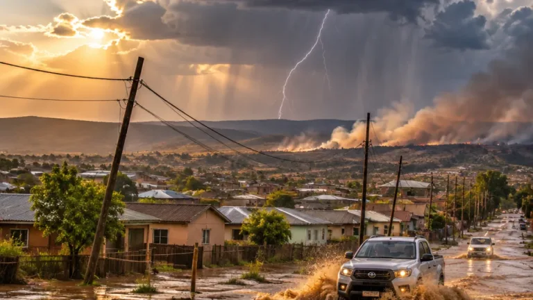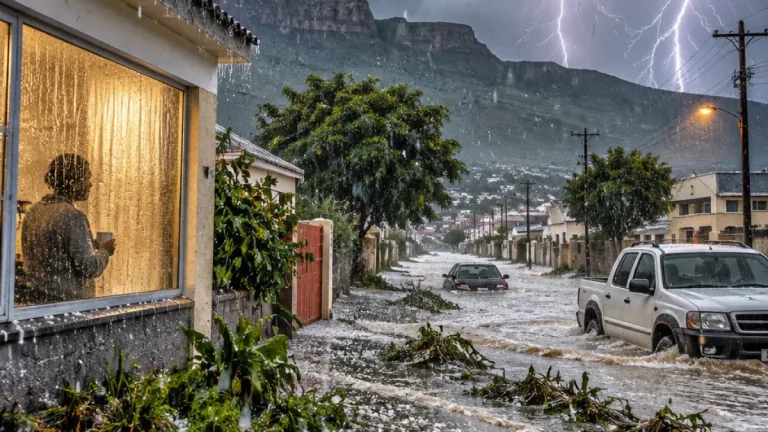

South Africa is set for a warm and mostly settled Wednesday, although the South African Weather Service (SAWS) has issued a warning for severe thunderstorms in parts of KwaZulu-Natal and cautioned about very high to extremely high temperatures in parts of Limpopo.
The thunderstorm warning covers areas around Hlabisa, Hluhluwe, King Shaka Airport and Jozini. Residents and motorists in those parts of the province should monitor the sky and remain alert to changes in conditions. Durban is forecast to receive slight rain, with a high of 23°C and a low of 18°C, while the wider province is expected to have a mixture of cloud, rain and thunderstorms during the coming days.
Warm conditions inland
Temperatures will climb into the upper twenties and low thirties across much of the interior. Johannesburg is forecast to reach 29°C after a chilly start of 8°C. Pretoria is expected to reach 30°C, while Bloemfontein and Kimberley are among the centres facing afternoon temperatures of about 29°C to 30°C.
Mahikeng is the expected hot spot at 33°C. The forecast also warns of very high to extremely high temperatures in the Ba-Phalaborwa and Hoedspruit areas. These conditions stand in contrast to the cooler morning start in Gauteng, where light winds are expected and skies will be partly cloudy in Johannesburg.
| Location or area | Wednesday forecast |
|---|---|
| Johannesburg | Partly cloudy, 29°C / 8°C |
| Mahikeng | High of 33°C |
| Cape Town | Clear skies, 27°C / 15°C |
| Durban | Slight rain, 23°C / 18°C |
| Mbombela | Drizzle expected |
Clear skies in the Western Cape
Cape Town will have clear skies and a high of 27°C, with a south-easterly wind of about 10km/h. Paarl is expected to reach 31°C and Stellenbosch 28°C, while George will be cooler at 22°C. The province is forecast to remain largely settled through the rest of the week, although high-level cloud and cloudy conditions are expected at times.
The forecast for Johannesburg points to a gradual increase in daytime temperatures. The city is expected to reach 31°C on Friday, followed by 32°C on Saturday and 33°C on Sunday and Monday. Showers and thundershowers are forecast for Johannesburg from Saturday through Monday, before partly cloudy conditions return on Tuesday.
KwaZulu-Natal remains unsettled
Durban is expected to remain relatively mild, with temperatures between 23°C and 25°C over the next several days. Partly cloudy conditions are forecast for Thursday, followed by mostly clear weather on Friday and partly cloudy skies on Saturday. Showers and thundershowers are expected in the province on Sunday, with slight rain forecast on Monday and further showers and thundershowers on Tuesday.
Across the country, winds are expected to remain light in most areas on Wednesday. That should not obscure the localised nature of the warnings: settled conditions in one part of a province may occur alongside dangerous thunderstorms or extreme heat elsewhere. The areas under warning are therefore the immediate priority for weather monitoring, particularly around northern and coastal KwaZulu-Natal locations identified by SAWS.
- Severe thunderstorms: Hlabisa, Hluhluwe, King Shaka Airport and Jozini.
- Very high to extremely high temperatures: Ba-Phalaborwa and Hoedspruit.
- Cool start: Johannesburg is expected to begin the day at 8°C.
- Warmest listed centre: Mahikeng, with a forecast high of 33°C.
The national picture is therefore one of generally warm weather, punctuated by sharp regional contrasts. Clear skies will dominate Cape Town, while parts of the eastern provinces face rain, drizzle or thunderstorms. SAWS warnings should be checked for updates as conditions develop during the day.