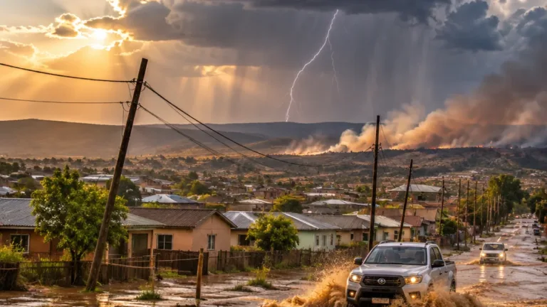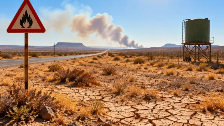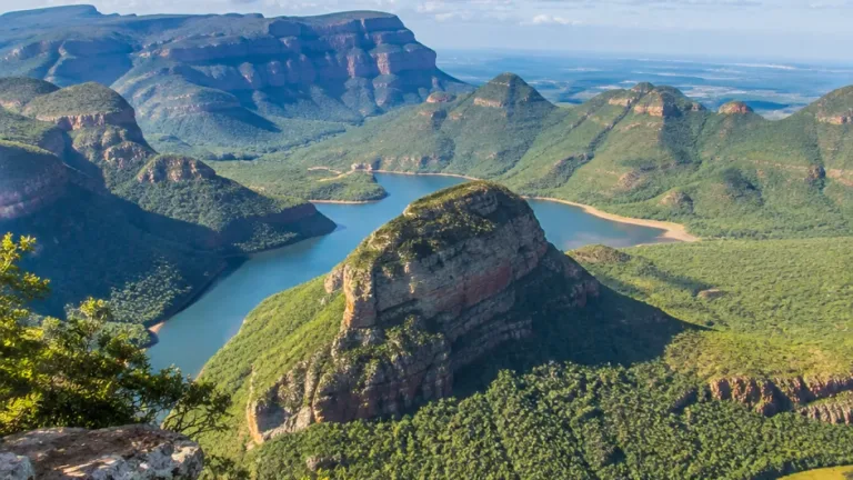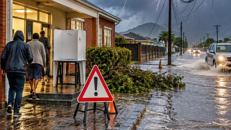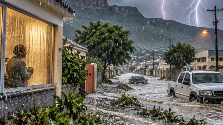
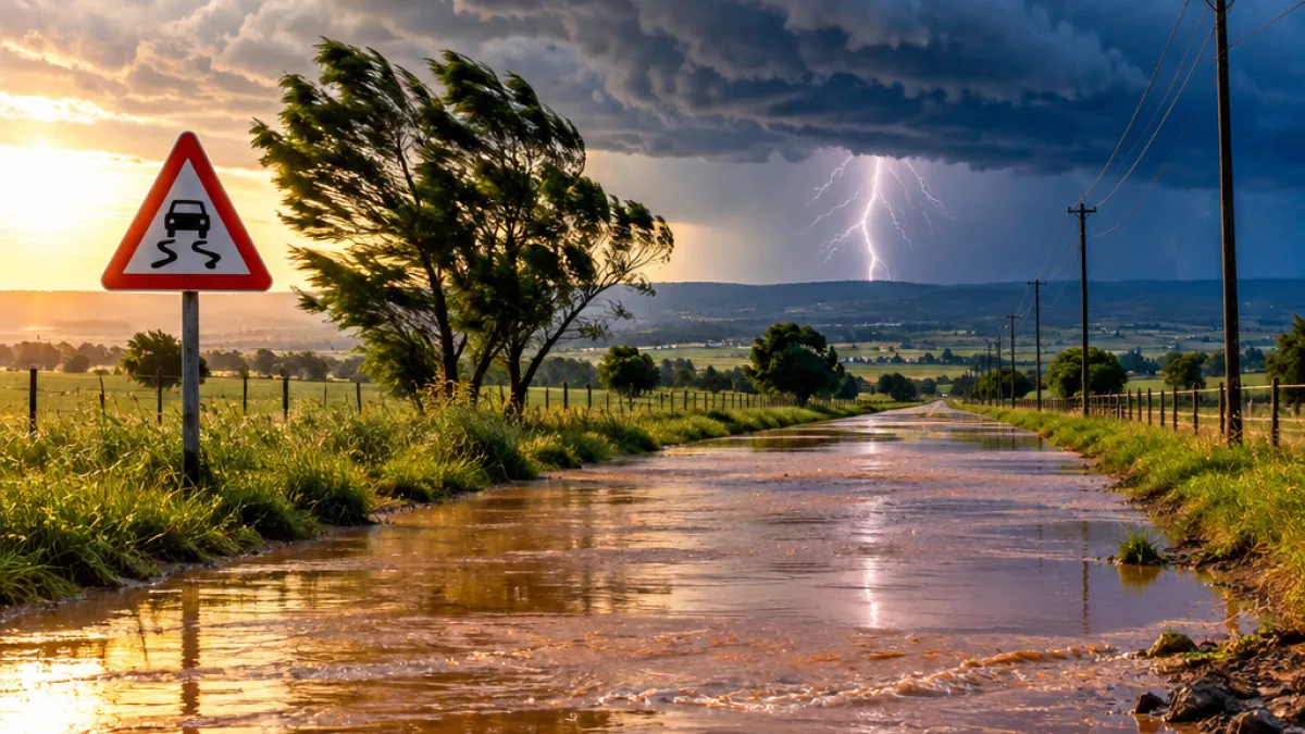
Residents in parts of Mpumalanga have been warned to prepare for severe thunderstorms that could bring flooding, property damage and interruptions to electricity and communications on Saturday, 14 November 2026.
The South African Weather Service (SAWS) has placed sections of the province under impact-based warnings as a broader storm system is expected to affect several parts of the country. The warnings cover different areas and levels of possible impact, with the most serious alert affecting the Mpumalanga Highveld.
Highveld faces the highest provincial warning
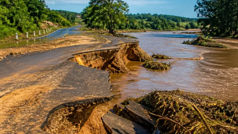
An Orange Level 5 warning has been issued for the far eastern parts of the Free State, western KwaZulu-Natal and the Highveld of Mpumalanga. According to SAWS, thunderstorms in these areas may cause flooding on roads, in settlements and in low-lying locations.
The same warning highlights the possibility of disruptions to power supplies and communications. These impacts could make travel more difficult and leave communities vulnerable where stormwater drainage is limited or where structures are not able to withstand severe weather.
Orange warnings indicate that a higher-risk impact is expected and require increased attention and preparation. The warning does not mean that every location in the affected area will experience the same conditions, but it signals that communities should take the forecast seriously and avoid unnecessary exposure as storms develop.
Yellow warning for the north-east
A separate Yellow Level 2 warning applies to eastern North West, eastern Free State, southern Limpopo, northeastern Mpumalanga and Gauteng. In these areas, severe thunderstorms may result in localised flooding, damage to property and interruptions to power and communications.
The difference between the warning areas reflects the expected variation in risk. While the yellow alert points to a moderate level of possible impact, local conditions can still change quickly during a thunderstorm, particularly around low-lying roads, settlements and other places where water can accumulate.
| Warning | Mpumalanga area | Possible impacts |
|---|---|---|
| Orange Level 5 | Highveld | Flooding, power and communication disruptions |
| Yellow Level 2 | Northeastern Mpumalanga | Localised flooding, property damage, power and communication disruptions |
What the forecast indicates
SAWS forecasts conditions for Saturday and Sunday, 14 and 15 November, to be partly cloudy and cool to warm in places, with hot to very hot conditions in some areas. Isolated to scattered showers and thundershowers are expected, becoming widespread in KwaZulu-Natal.
For Mpumalanga, the available provincial forecast describes cloudy conditions in the east with morning fog. The severe-weather warnings, however, indicate that storm-related risks extend beyond a general description of cloud cover. Residents should remain alert to updates, especially where storms are forecast to build during the day.
Practical precautions for residents
The expected impacts mean that ordinary journeys and outdoor activities could become hazardous in affected areas. Localised flooding can cover roads, reduce visibility and increase travel times, while strong storm activity may damage property or interrupt services.
- Avoid crossing flooded roads or low-lying areas when water levels rise.
- Secure loose items around homes and other structures before storms arrive.
- Prepare for possible interruptions to electricity and communications.
- Limit unnecessary travel during the most severe weather.
- Monitor updated SAWS warnings and local emergency information.
People living in informal or temporary structures should take particular care because severe weather can cause damage to structures and surrounding property. Residents in areas prone to flooding should also consider the safest route away from low-lying ground before conditions deteriorate.
Warnings cover several provinces
The weather service has also warned of severe thunderstorms in parts of the Free State, KwaZulu-Natal, North West, Limpopo and Gauteng. A separate yellow warning for KwaZulu-Natal concerns disruptive rain that may cause localised flooding of roads, settlements and low-lying areas, with longer travel times possible.
Along the south-western coast and in the City of Cape Town district, a Yellow Level 1 warning has been issued for damaging winds. These winds may cause localised damage to temporary structures and create navigation difficulties at sea.
SAWS uses colour-coded warnings to communicate the likely seriousness of weather-related impacts. Yellow indicates a moderate risk requiring caution and awareness, while orange indicates a higher-risk event requiring increased preparation. The service also uses numbered levels to indicate the likelihood of weather impacts.
With the highest Mpumalanga warning focused on the Highveld and another alert covering the north-east, residents should check their local conditions rather than relying only on province-wide forecasts. The risk of flooding, service interruptions and damage is expected to vary between areas, making timely preparation and attention to updated warnings essential.