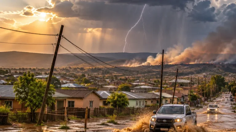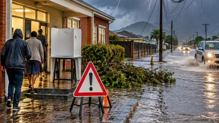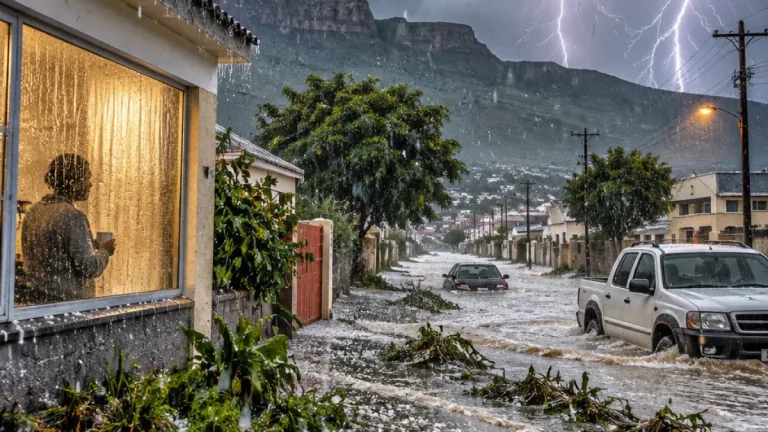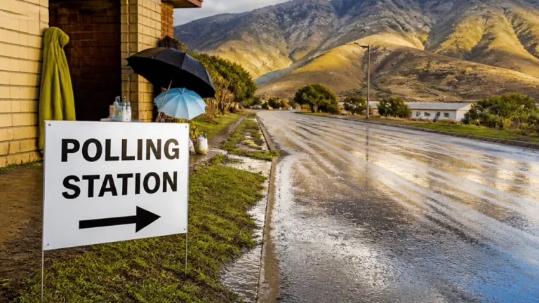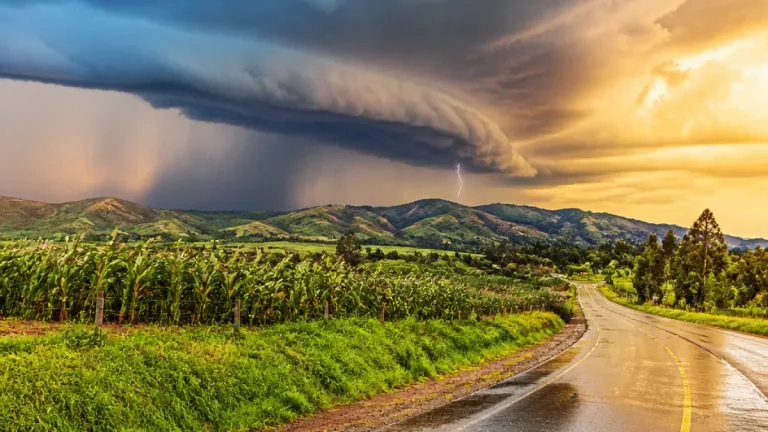
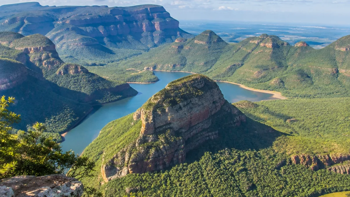
Mpumalanga faces a day of severe thunderstorms, heavy rain, hail and lightning on Wednesday, 4 November 2026, with the South African Weather Service warning that storms could cause flooding and damage to infrastructure as people travel and queue to vote.
The weather service has issued a Yellow Level 4 warning for the central parts of the province. The alert covers storms accompanied by heavy downpours, hail and excessive lightning, with possible flooding and damage to infrastructure.
A separate Yellow Level 2 warning applies to most parts of Mpumalanga. It warns of severe thunderstorms, heavy rain, damaging winds, hail and lightning, with the possibility of localised flooding and damage to settlements.
Warnings cover different levels of risk
The two alerts do not apply with the same intensity across the province. The Level 4 warning identifies a higher risk in central Mpumalanga, where the combination of intense rainfall, hail and lightning may affect roads, buildings and other infrastructure.
The Level 2 warning extends across most of the province and indicates that severe weather could still produce localised impacts. Communities outside the central areas are therefore also urged to monitor changing conditions rather than assuming that the absence of the higher-level warning means there is no danger.
| Area | Warning | Possible impacts |
|---|---|---|
| Central Mpumalanga | Yellow Level 4 | Flooding, hail, excessive lightning and infrastructure damage |
| Most of Mpumalanga | Yellow Level 2 | Localised flooding, damaging winds, hail, lightning and damage to settlements |
Travel and outdoor activity require caution
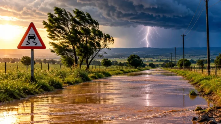
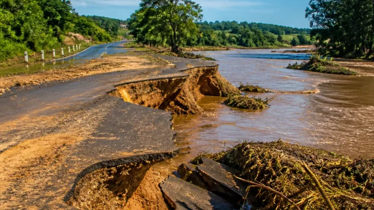
The warnings are particularly relevant to people who will be on the move during the day. Motorists may encounter sudden heavy rain, reduced visibility, water across roads and strong winds. Conditions can change quickly during thunderstorms, making it important for drivers to slow down and avoid taking unnecessary risks.
People who are travelling to voting stations should allow additional time and remain alert to weather developments. Where roads become flooded, motorists should not attempt to drive through moving or standing water if the depth and condition of the road cannot be established.
The weather service’s warning also has implications for anyone spending time outdoors. Hail and excessive lightning can pose a direct risk, while damaging winds may affect trees, temporary structures and unsecured objects. Residents should seek shelter when storms approach and avoid remaining in exposed areas.
- Check weather updates before leaving home and while travelling.
- Reduce speed in heavy rain and use headlights when visibility deteriorates.
- Avoid crossing flooded roads or walking through fast-moving water.
- Move indoors during lightning, hail and strong winds.
- Secure loose objects that could be blown around during storms.
Conditions elsewhere in the region
The storm warnings also extend beyond Mpumalanga. A Yellow Level 4 alert is in place for the north-western parts of KwaZulu-Natal, while a Yellow Level 2 warning covers western KwaZulu-Natal and the central-southern parts of Limpopo.
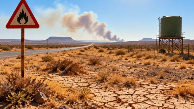
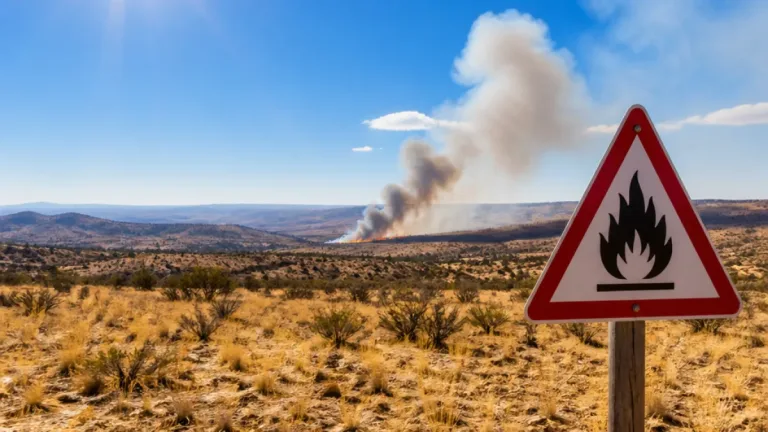
The wider forecast also includes a separate fire danger concern. Extremely high fire danger conditions are expected in parts of the North West, the southern parts of the Northern Cape, the western parts of the Western Cape, the northern parts of the Free State, the Limpopo Valley and the Western Bushveld.
The fire warning is separate from the thunderstorm alerts affecting Mpumalanga, but it highlights the sharply contrasting weather conditions expected across the country. While some regions face flooding and lightning, other areas are at heightened risk of rapidly spreading veld fires.
What the warnings mean for communities
Impact-based warnings are intended to describe the likely consequences of severe weather, rather than simply reporting rain or thunderstorms. In Mpumalanga, the listed risks include disruption to roads and infrastructure, damage to settlements and flooding in areas affected by intense rainfall.
Residents should pay attention to local conditions because rainfall and storm damage can vary considerably over short distances. A dry start to the day does not rule out dangerous conditions later, particularly where storms develop rapidly.
The South African Weather Service has advised the public through its impact-based warning system. People should continue checking official updates for changes to the affected areas, warning levels and expected timing as the day progresses.
For Mpumalanga communities, the immediate priority is to plan around the weather, remain cautious on the roads and seek shelter promptly when thunderstorms, hail or lightning develop.