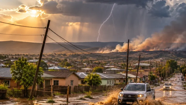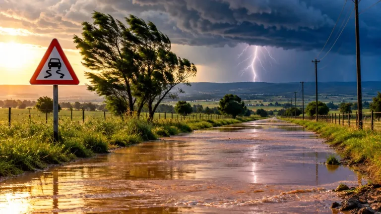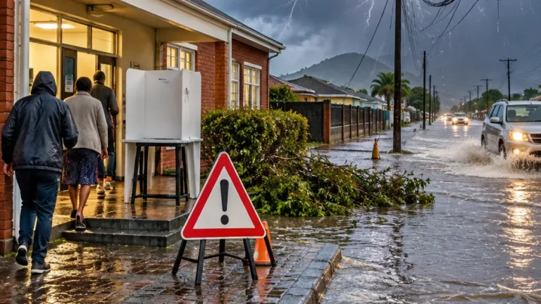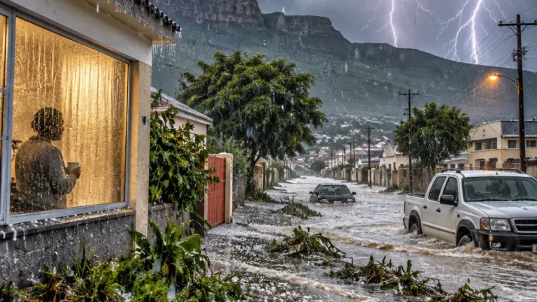
The South African Weather Service (SAWS) has raised its severe weather warning for KwaZulu-Natal to Yellow Level 4, with heavy rainfall, hail and severe lightning expected to bring a heightened risk of flooding and damage. The warning covered Tuesday, 27 October, and extended into Wednesday, 28 October 2026.
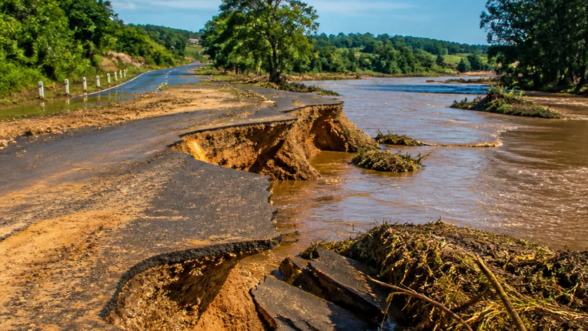
The escalation followed an earlier Level 2 alert issued on Sunday for Monday. The latest warning indicates that conditions could affect settlements, roads and bridges, while property and public infrastructure may also be damaged. Driving conditions are expected to become dangerous where intense rainfall develops, particularly if water accumulates quickly on roads.
eThekwini Municipality placed its Disaster Management and Emergency Services teams on standby as the weather system intensified. The municipality warned that downpours could be accompanied by hail and lightning, creating a combination of hazards for communities, motorists and people working or travelling outdoors.
“Heavy downpours, hail, and severe lightning are expected, which may cause flooding in settlements, roads, and bridges, damage to property and infrastructure, and poor driving conditions.”
Safety measures during the warning
Residents have been urged to remain indoors where possible while the most dangerous conditions pass. Children should be kept away from rivers and stormwater drains, where rapidly rising water can create a serious risk even when nearby rainfall has eased. Valuables should be moved above anticipated flood levels in homes and businesses that could be affected by runoff.
- Avoid driving through floodwater, even where the depth appears limited.
- Keep children away from rivers, drainage channels and stormwater infrastructure.
- Move valuables to higher positions if flooding is possible.
- Stay away from open areas and tall trees during thunderstorms.
- Follow further updates from SAWS as warnings and forecasts change.
Motorists have been advised to exercise particular caution because conditions can deteriorate rapidly. Floodwater may obscure the road surface or damage roads and bridges, while hail and reduced visibility can make it difficult to maintain control. The guidance is to avoid entering water-covered sections rather than attempting to judge whether a vehicle can cross safely.
Lightning is another important hazard associated with the warning. People outdoors should move away from open spaces and tall trees and seek shelter where possible. The advice to remain indoors is especially relevant during periods of intense thunderstorm activity, when conditions can change within a short period.
Conditions expected to ease later in the week
The outlook supplied for Thursday and Friday, 29-30 October 2026, points to a different pattern across the affected region and elsewhere. Fine, warm to hot conditions are expected in general, although the eastern parts are forecast to be partly cloudy and cool. On Thursday, drizzle is expected along the escarpment of Mpumalanga.
| Date | Forecast outlook |
|---|---|
| 27-28 October | Yellow Level 4 severe weather warning for KwaZulu-Natal, with heavy rain, hail, lightning and flooding risks. |
| 29-30 October | Fine and warm to hot in general; partly cloudy and cool in the east, with escarpment drizzle in Mpumalanga on Thursday. |
The change in the later-week outlook does not remove the need for caution during the Level 4 warning period. Residents should continue checking official SAWS updates, particularly before travelling, because warnings can be revised as storm systems develop. Local emergency teams remain on standby in eThekwini, while households and motorists are being asked to reduce their exposure to flooding, lightning and hazardous road conditions.