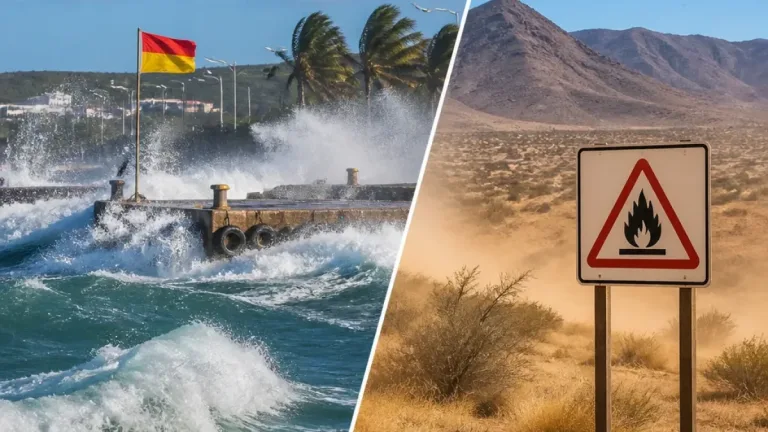

The South African Weather Service (SAWS) has issued a national forecast for 22 October 2026 that warns of widespread warm to hot conditions, a developing heatwave in Limpopo and pockets of extremely high fire danger across the central and northern interior.
Key national elements
SAWS expects most of the country to be fine, with temperatures ranging from warm to very hot in some areas. A heatwave advisory applies to parts of the Western Bushveld of Limpopo, and the agency warned of extremely high fire danger in areas of Limpopo, Free State, Northern Cape and North West. Residents in exposed areas are advised to exercise caution, avoid open flames and heed local fire-safety guidance.
Provincial outlook and impacts
Below are the main points SAWS provided for each province for 22 October 2026:
- Gauteng: Fine and generally warm; hot to very hot conditions in the northern parts. The UVB sunburn index is expected to be very high, so sun protection is recommended.
- Mpumalanga: Fine and warm to hot, with very hot pockets possible.
- Limpopo: Fine, hot to very hot overall. A heatwave is forecast to affect the Western Bushveld through to Friday.
- North West: Fine, windy and warm to hot.
- Free State: Mostly fine and warm to hot; partly cloudy in the southern areas.
- Northern Cape: Generally fine and warm to hot, though western and southern areas will be cloudier.
- Western Cape: Cloudy to partly cloudy and cool to warm, with isolated showers and rain mainly in the south-west. UVB levels are expected to be very high where the sun breaks through.
- Eastern Cape: Western half: cloudy and cool with isolated showers along the coast west of Gqeberha; eastern half: partly cloudy north of the escarpment with isolated showers and thundershowers.
- KwaZulu‑Natal: Morning fog over the eastern interior, otherwise partly cloudy and warm to hot, turning cloudier in the afternoon with isolated showers.
Fire danger and heatwave advisories
SAWS cautioned that extremely high fire danger conditions will be present in parts of Limpopo, Free State, Northern Cape and North West. The agency also issued an advisory that persistently high temperatures will affect locations across the Western Bushveld of Limpopo through to Friday, raising the risk of heat-related health problems and increasing fire risk.
| Hazard | Affected areas | Advice |
|---|---|---|
| Heatwave | Western Bushveld, Limpopo | Stay hydrated, avoid strenuous activity during peak heat, and check on vulnerable people. |
| Extremely high fire danger | Parts of Limpopo, Free State, Northern Cape, North West | Avoid open fires, follow municipal burn bans and report veld fires to authorities promptly. |
Health, safety and practical steps
With UV levels described as very high in some regions, SAWS recommends limiting prolonged sun exposure, using broad-spectrum sunscreen, wearing protective clothing and seeking shade during midday hours. For those in heatwave-affected districts, simple measures can reduce harm:
- Keep water available and drink regularly.
- Reduce physical exertion during the hottest part of the day.
- Check on older relatives, infants and those with chronic illness.
- Follow local fire-safety rules and avoid burning garden waste or using open flames outdoors.
Coastal and south-western parts of the Western Cape should prepare for isolated showers and cooler, cloudier conditions, while much of the interior will stay dry and warm. Windy conditions are likely in some inland areas, which may exacerbate fire spread where veld fires occur.
The SAWS regional release serves as the basis for this briefing. Readers should consult the Weather Service and local authorities for updates, warnings and safety instructions as conditions evolve.