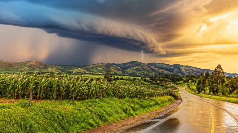
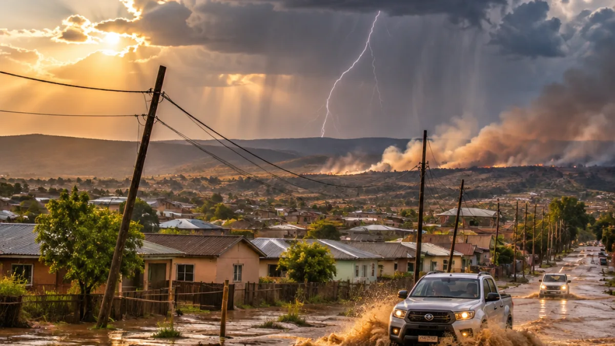
South Africa faces a volatile weather day on 15 November 2026, with the South African Weather Service (SAWS) warning of severe thunderstorms, possible flooding, damaging winds and dangerous fire conditions in different parts of the country.
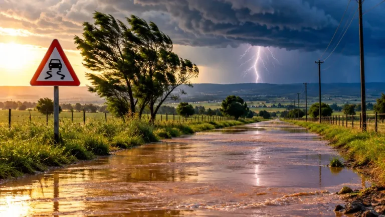
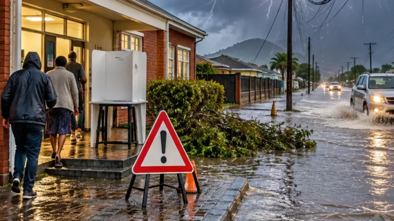
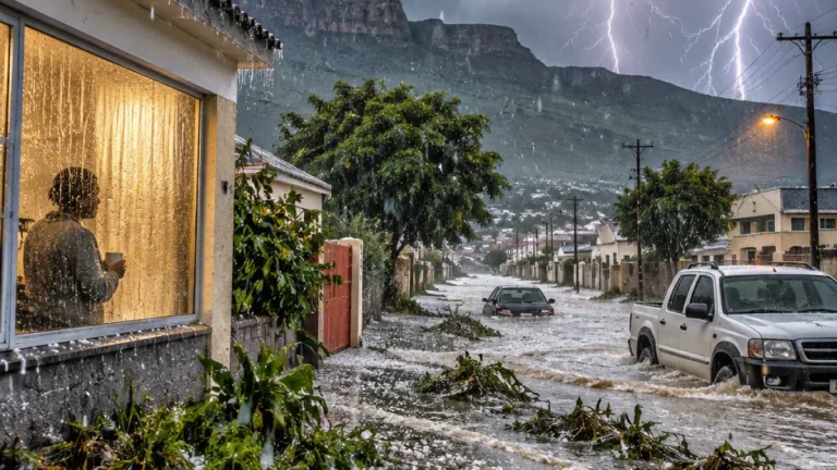
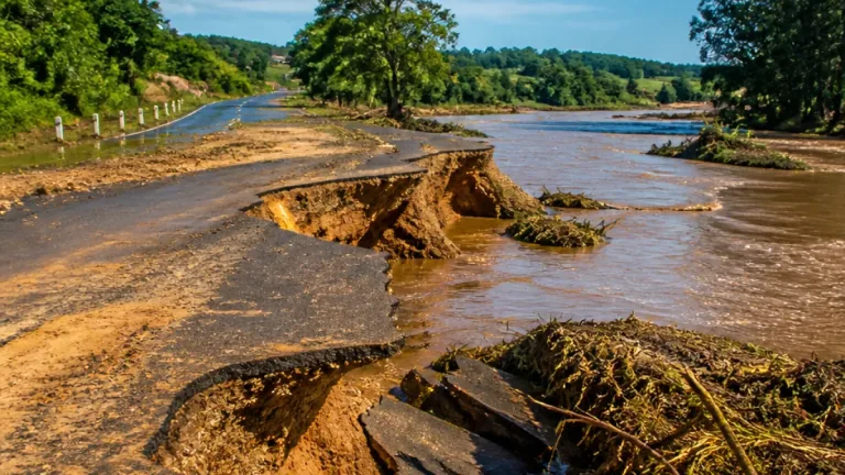
The highest alert is an Orange Level 5 warning for the far eastern Free State, western KwaZulu-Natal and the Mpumalanga Highveld. SAWS says intense storms in these areas may leave roads, settlements and low-lying locations under water. Residents should also prepare for possible interruptions to electricity and communication services, which could complicate travel and access to information during the storms.
Where the strongest storms are expected
A wider area has been placed under a Level 2 thunderstorm warning. It includes Gauteng, eastern North West, central and eastern Free State, southern Limpopo, north-eastern Mpumalanga, and southern and coastal KwaZulu-Natal. These regions may experience isolated flooding, damage to property and interruptions affecting utilities.
The warning is particularly important for communities in exposed or low-lying areas, where heavy rain can quickly affect roads and access routes. Motorists should take account of changing conditions before travelling, while households in the affected provinces should remain alert to local warnings and possible service disruptions.
- Orange Level 5: far eastern Free State, western KwaZulu-Natal and the Mpumalanga Highveld.
- Level 2 thunderstorms: Gauteng, eastern North West, central and eastern Free State, southern Limpopo, north-eastern Mpumalanga, and southern and coastal KwaZulu-Natal.
- Level 1 damaging winds: the southern Cape coast between Cape Columbine and Cape Agulhas.
Wind along the coast, fire danger inland
On the southern Cape coastline, SAWS has issued a Level 1 warning for damaging winds between Cape Columbine and Cape Agulhas. The conditions may affect temporary structures and make navigation at sea difficult.
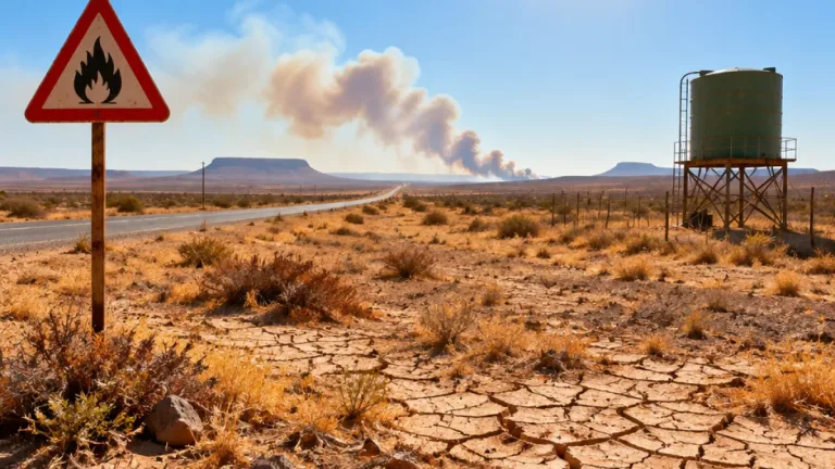
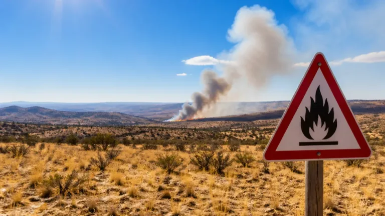
At the same time, the interior and parts of the Western Cape face a different hazard. Extremely high fire-danger conditions have been flagged for the western Free State, western North West, the Northern Cape, the Khai-Ma Local Municipality, the City of Cape Town District and the Swartland Local Municipality. The combination of weather alerts means conditions will vary sharply between regions: some communities must prepare for heavy rain and flooding, while others face an elevated risk of veld fires.
| Area | Expected concern |
|---|---|
| Far eastern Free State, western KwaZulu-Natal and Mpumalanga Highveld | Severe thunderstorms, flooding and service disruptions |
| Southern Cape coast | Damaging winds and difficult sea navigation |
| Western Free State, western North West and Northern Cape | Extremely high fire danger |
Forecast conditions across the provinces
Gauteng is expected to be cloudy and warm, with scattered showers and thunderstorms. Temperatures are forecast to reach between 30°C and 33°C. Mpumalanga may begin with fog along the escarpment before widespread showers develop, while Limpopo is expected to receive isolated to scattered thunderstorms.
The weather pattern is not confined to one part of the country. The warnings cover a broad corridor from the central interior to the east coast, while the fire-danger alerts extend into the Northern Cape and Western Cape. This spread makes it important for residents to rely on the warning applying to their specific area rather than assuming that conditions elsewhere will be similar.
People in the Level 5 warning areas should avoid unnecessary travel during the most active storms and should not attempt to cross flooded roads. Residents should secure temporary structures where strong winds are expected, remain cautious around damaged or unstable property, and follow instructions from emergency services. Where communications or electricity are interrupted, local authorities' updates may be limited, making it especially important to monitor available alerts before conditions deteriorate.