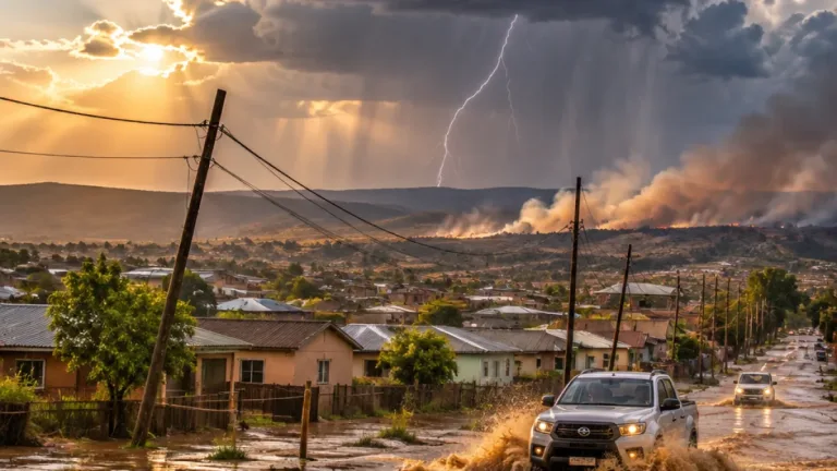
Komani and several surrounding areas in the Eastern Cape are expected to experience severe thunderstorms on Saturday, 31 October 2026, prompting the South African Weather Service (SAWS) to issue a Level 1 warning.
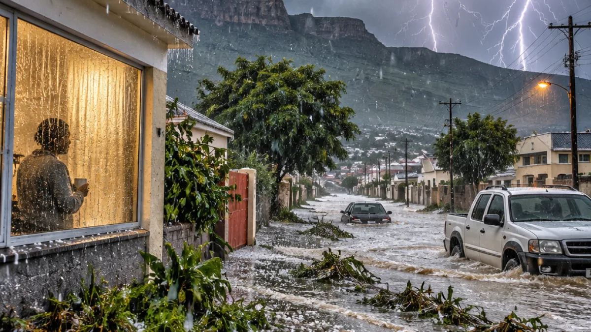
The warning is scheduled to remain in effect from 13:00 until 21:59. During that period, communities could face heavy rain, powerful winds, hail and intense lightning as storm activity develops across the area.
SAWS has included Komani, Molteno, Tarkastad, Emalahleni, Intsika Yethu, Inxuba Yethemba and Sakhisizwe among the areas that may be affected. Other parts of the Eastern Cape could also experience thunderstorms, although the warning specifically highlights the listed towns and municipalities.
Possible impacts on homes and services
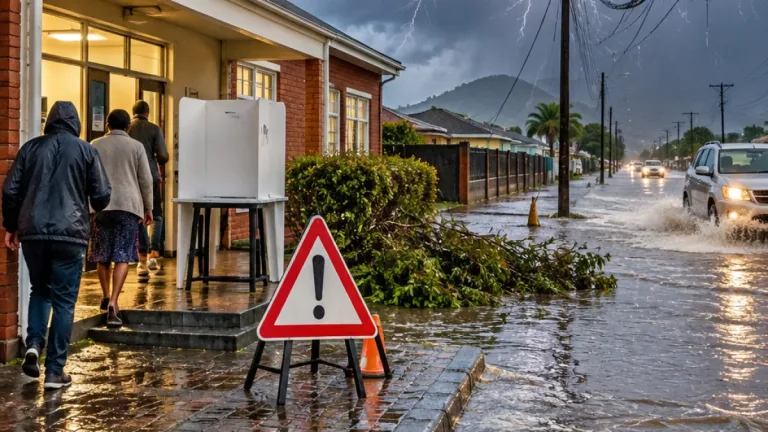
The forecast carries risks for households, businesses and people travelling through the affected areas. SAWS said the storms may result in localised damage to homes, property and temporary structures. Structures that are not firmly secured may be particularly vulnerable when strong winds accompany heavy rainfall.
The weather may also interrupt essential services. Residents could experience temporary disruptions to electricity and communication networks if storm conditions damage infrastructure or make access difficult for repair teams. The warning does not indicate how widespread such interruptions may be, but it places communities on notice that services could be affected during the afternoon and evening.
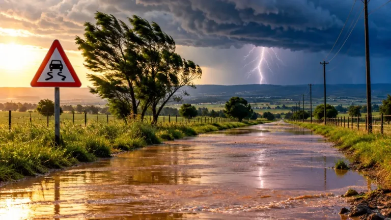
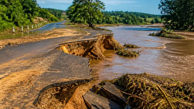
Heavy rainfall is another concern. Water accumulating quickly on roads may make routes difficult or unsafe to use, while flooded sections could leave motorists stranded or cause vehicles to lose control. The warning therefore has implications beyond individual properties, particularly for people who need to travel between towns or through low-lying areas during the period of expected storm activity.
Safety advice for residents and motorists
Residents are advised to stay indoors where possible while thunderstorms are overhead. People outside should avoid standing beneath trees or near tall objects, which can pose a danger during lightning and strong winds.
Motorists are urged to drive carefully and to avoid entering roads covered by floodwater. Even where a road appears passable, fast-moving or deeper-than-expected water can create a serious hazard. The warning means travel plans may need to be reconsidered, especially during the hours when the storm risk is highest.
- Remain indoors where possible during the thunderstorms.
- Do not seek shelter under trees or close to tall objects.
- Use caution when travelling during heavy rain and strong winds.
- Do not drive through flooded roads.
- Be prepared for temporary interruptions to electricity and communication services.
Warning period at a glance
| Area | Expected risk | Warning period |
|---|---|---|
| Komani and surrounding areas | Severe thunderstorms, heavy rain, hail, strong winds and lightning | 31 October 2026, 13:00–21:59 |
| Molteno, Tarkastad, Emalahleni, Intsika Yethu, Inxuba Yethemba and Sakhisizwe | Potential localised damage, flooding and service disruptions | During the same warning period |
The alert was issued on Friday, 30 October, giving residents time to secure vulnerable items, consider whether non-essential travel can be delayed and make arrangements for possible interruptions. Households in areas that have previously experienced flooded roads or storm-related damage will need to remain particularly alert as conditions change.
The warning is limited to the stated period, but the weather may develop unevenly across the affected region. Some communities may experience intense rain and lightning while others nearby receive less severe conditions. Residents should continue monitoring official weather information and respond to conditions where they are, rather than assuming that clear skies in one location mean that travel routes elsewhere are safe.
For communities across the northern and central parts of the Eastern Cape, the forecast is a reminder of how quickly summer storms can affect daily life. The immediate priorities are protecting people from lightning and strong winds, keeping away from flooded roads and allowing emergency and service teams safe access if damage occurs.