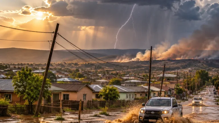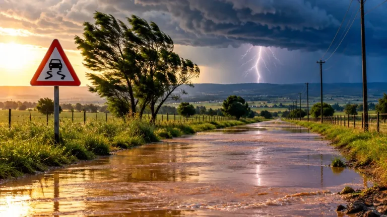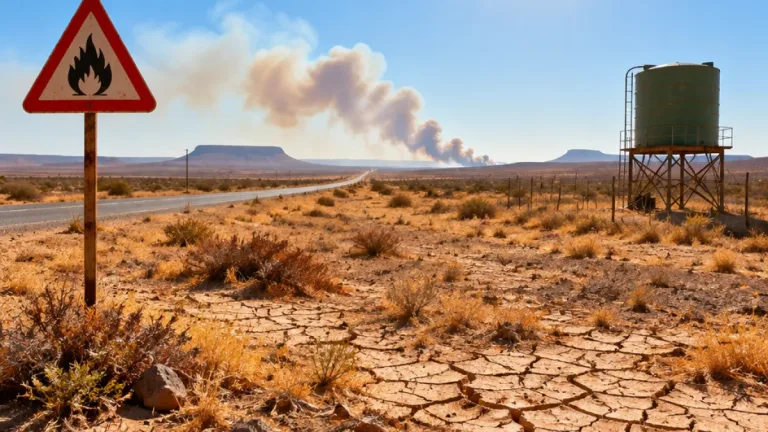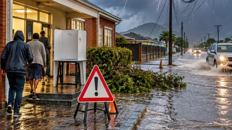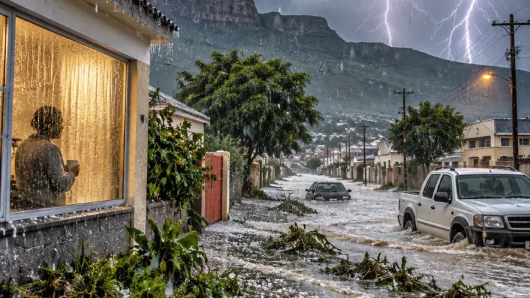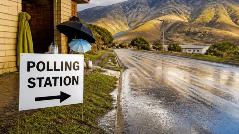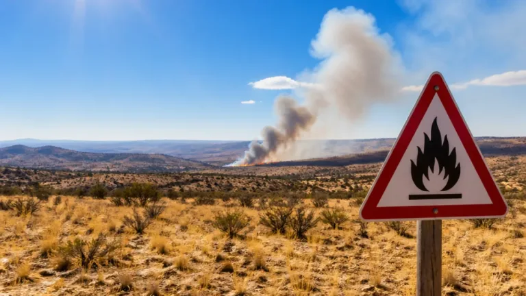
The South African Weather Service (SAWS) has issued weather warnings that will affect parts of the Eastern Cape on Monday, 26 October, with forecasts of severe thunderstorms, heavy downpours, damaging winds, hail and lightning. At the same time, inland regions remain exposed to extremely high fire danger.
What to expect in the Eastern Cape
SAWS forecasts that the western half of the Eastern Cape will be partly cloudy and warm in the north, while the remainder of the province will be cloudy and cool with isolated showers and rain along the coast and adjacent interior. In addition, specific districts in the province have the potential to experience intense thunderstorms that could produce localised flooding and damage to infrastructure and settlements.
Nationally, SAWS also warned of damaging winds in western Free State and the extreme east of the Northern Cape, and a broad fire-warning area covering parts of the interior. For Eastern Cape communities, the primary immediate risks are flash flooding in low-lying areas, wind damage to property and trees, and the hazard posed by lightning.
Local impact and responsibilities
Flooding and sudden strong winds can disrupt transport routes and local services. Municipalities and emergency services should prioritise:
- clearing stormwater drains and culverts in flood-prone neighbourhoods;
- inspecting and securing municipal properties, informal settlement structures and schools where feasible;
- making contingency plans for vulnerable residents, including the elderly and those in informal settlements near rivers and streams.
Farmers and those with outdoor work should also brace for possible localised loss of agricultural production where hail or destructive winds occur.
Summary of provincial forecasts for Monday, 26 October
| Province | Expected conditions | Primary hazards |
|---|---|---|
| Eastern Cape (western half) | Partly cloudy and warm in north | Isolated showers |
| Eastern Cape (remainder) | Cloudy, cool with isolated coastal showers | Heavy downpours, lightning |
| KwaZulu-Natal | Severe thunderstorms | Downpours, damaging winds, hail, lightning |
| Free State (western) | Partly cloudy, windy, warm | Damaging winds |
| North-West, Northern Cape interior, Free State, Limpopo | Hot and windy in places | Extremely high fire danger |
Practical advice for residents
The combination of thunderstorms and elevated fire risk means households should take straightforward precautions to reduce harm and damage. Key steps include:
- Secure loose outdoor items and trim trees that could fall on structures or roads;
- Avoid crossing flooded roads or bridges — even shallow moving water can be dangerous;
- During thunderstorm activity, stay indoors and keep away from windows and electrical appliances;
- Charge essential mobile devices and keep emergency contacts to hand;
- People in high-fire-risk areas should avoid open flames, outdoor burning and unnecessary use of machinery that can create sparks.
Local emergency numbers and municipal hotlines remain the first point of contact in the event of severe damage or immediate danger. Where possible, residents living in low-lying or poorly drained areas should identify safer ground and contingency routes in advance.
Context and local concerns
Eastern Cape communities are accustomed to variable weather as seasons shift, but intense convective storms have become more disruptive in recent years. Heavy downpours can overwhelm ageing stormwater infrastructure in towns and informal settlements, leading to rapid inundation. Damaging winds and lightning also threaten power lines and telecommunications, compounding risks for response teams trying to reach affected areas.
Municipalities must balance routine maintenance with emergency readiness. Where municipal drainage is clogged or maintenance has been deferred, the potential for harm increases significantly during heavy rainfall events.
Residents are advised to monitor official SAWS updates and heed instructions issued by their local municipality or disaster-management centre. Staying informed and prepared reduces harm to life and property when severe weather arrives.