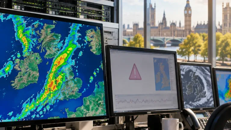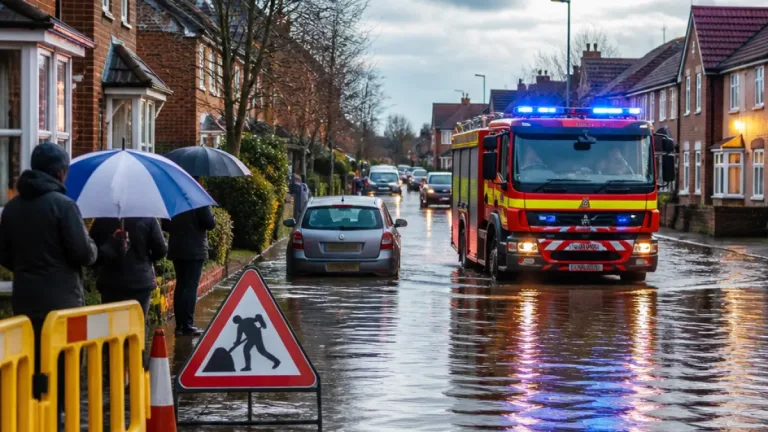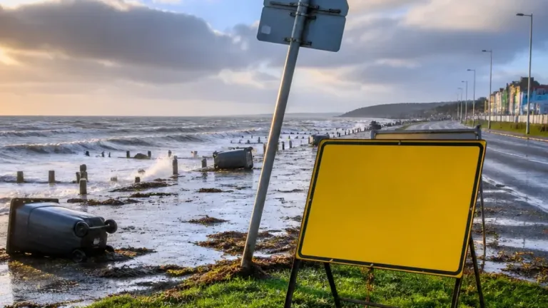
Storm Charles has caused widespread flooding, landslides and major travel disruption across southern Europe, after bringing destructive rain and powerful winds from Portugal and Spain towards France and Italy.
The storm first affected the Portuguese island of Madeira before reaching the mainland on 11 November. At Funchal airport, a wind gust of 84.5mph (136km/h) was recorded, while rainfall totals reached 355mm (13.97in) in 12 hours. The combination of intense rain and strong south-westerly winds created dangerous conditions across the island and later on the Iberian Peninsula.
Air travel hit by severe weather
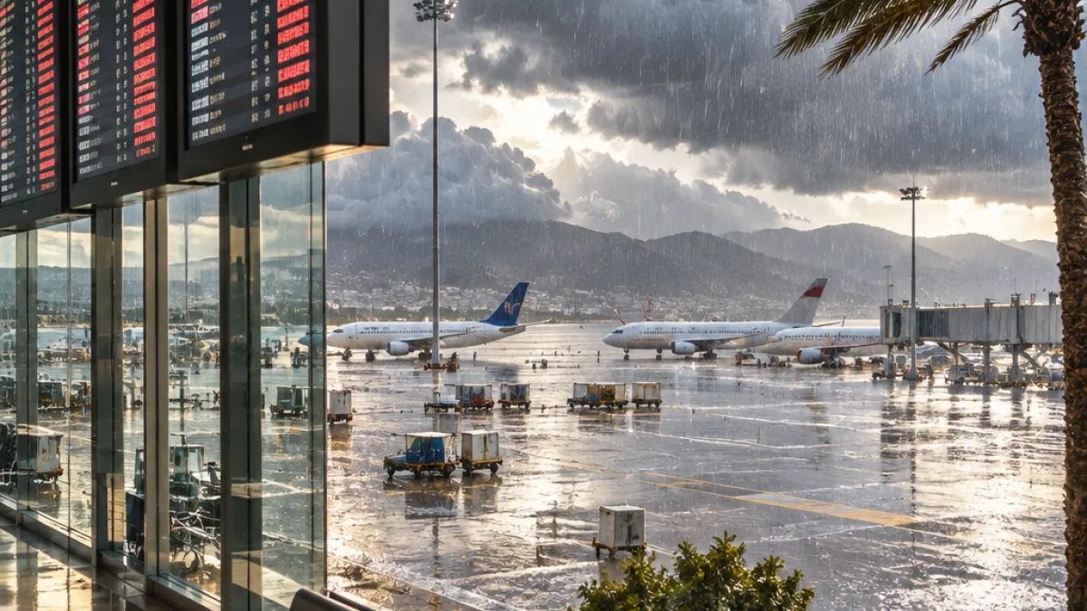
Disruption was particularly pronounced at major airports. Lisbon recorded 183 cancellations on Wednesday, equivalent to around one third of its usual daily traffic. Madrid Barajas airport reported a further 155 cancellations as the storm moved across Portugal and Spain.
The figures underline how quickly severe weather can affect transport beyond the areas experiencing the worst flooding. Travellers in the storm’s path faced cancelled services as heavy rain and strong winds moved along a north-easterly route through southern France and towards northern Italy.
| Location | Weather or disruption recorded |
|---|---|
| Funchal, Madeira | 84.5mph (136km/h) wind gust; 355mm of rain in 12 hours |
| Lisbon | 183 flights cancelled |
| Madrid Barajas | 155 flights cancelled |
| British Columbia | More than 400,000 customers without power during one period |
Flooding and rock falls in France
After crossing the Iberian Peninsula, the system brought significant flooding to parts of southern France. Cannes was among the affected areas, where some flooding contributed to rock falls and the closure of roads along the French Riviera. The impacts illustrate the additional hazards that can develop when intense rainfall reaches steep or vulnerable ground, with roads becoming unsafe or impassable even after the heaviest rain has passed.
Italy is now facing the next major phase of the storm. The Italian weather service issued its highest-level, red rainfall warning, for an area stretching from Tuscany to Venezia. Further heavy rain is expected across Italy and the Balkans over the next few days. Forecast models indicate that another 100mm could accumulate widely, while totals near 200mm are expected in more mountainous areas.
What the continuing rain means
Where ground is already saturated, additional rainfall can increase the threat of surface flooding, landslides and further road closures. Mountainous districts are likely to be especially sensitive to the forecast totals, although the source account does not identify individual locations expected to receive the highest amounts beyond the wider warning area.
- People in warning areas should follow advice from local weather and emergency authorities.
- Travellers should check flight and road information before setting out, particularly across southern France, Italy and the Balkans.
- Drivers should not attempt to cross flooded roads or routes affected by rock falls or landslides.
Storm Charles is not confined to Europe. Successive spells of heavy rain and strong winds have also affected British Columbia in Canada during the past week or so. More than 400,000 customers lost power between Monday and Friday last week, while a further spell over the weekend left 135,000 customers without power. Downed trees, flooded roads and landslides were reported alongside the outages.
Further disruption in British Columbia
Winds reached 72.1mph (116km/h) on Herbert Island and 60mph (96km/h) at Victoria International Airport on Sunday. Heavy rain warnings were issued on Wednesday for Vancouver Island and southern coastal areas, after several stations recorded more than 100mm of rainfall. The continuing unsettled weather means that flooding and wind-related disruption remain important risks in affected parts of the province, alongside the ongoing European impacts from Storm Charles.