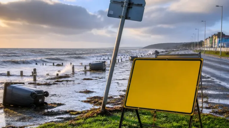
The Met Office has issued a weather warning for parts of Northern Ireland as Storm Boelo moves in from the west, bringing periods of very strong wind and heavy, blustery showers. The warning is valid from 18:00 BST on Saturday until 15:00 GMT on Sunday, with the most intense winds expected overnight and through much of Sunday.
What to expect
Forecasters say strong westerly winds will become widespread on Saturday evening and continue into Sunday, with the following conditions most likely:
- Widespread gusts around 60mph (96km/h) in many locations.
- Coastal and exposed sites could experience gusts of up to 75mph (120km/h).
- Heavy, blustery showers accompanying the strongest winds; conditions should gradually ease from the southwest during Sunday afternoon.
"Strong westerly winds are expected to become widespread on Saturday evening, with very windy conditions continuing overnight and through much of Sunday."
The combination of very strong gusts and coastal exposure increases the risk of hazardous seas, spray and beach material being thrown onto seafronts and coastal roads. The Met Office has warned of possible disruption to transport networks and essential services.
Documented risks and likely impacts
Public agencies are highlighting a number of plausible impacts consistent with the warning:
- Power interruptions are possible where heavy gusts damage infrastructure or bring down trees and branches; this could also affect mobile coverage and other services.
- Travel disruption — roads, rail, air and ferry services may face longer journey times, cancellations or some closures, including roads and bridges in exposed locations.
- Damage to buildings — there is a small risk of structural damage such as roof tiles being dislodged and danger from flying debris.
- Coastal hazards — high waves and thrown beach material may affect seafronts, coastal roads and properties.
These impacts echo the Met Office advisory tone: areas most vulnerable will be coastal, exposed high ground and places with trees close to power lines and properties.
| Period | Expected winds | Most at risk |
|---|---|---|
| 18:00 BST Sat – 15:00 GMT Sun | Gusts widely to 60mph; up to 75mph coastal/exposed | Coastal routes, ferry services, exposed properties |
Wider context
Storm Boelo follows closely on the heels of Storm Austen, which affected parts of Ireland with heavy rain and strong winds. The Irish weather service, Met Éireann, issued an orange rain warning for six counties — including Cork, Dublin, Kerry, Waterford, Wexford and Wicklow — underlining a busy period of Atlantic weather for these islands.
Practical advice
Given the expected conditions, residents and travellers should prepare now and stay informed through official channels. Practical steps include:
- Check the status of any planned journeys before setting out and allow extra time; consider postponing non-essential travel in exposed areas.
- Secure loose items in gardens and on balconies that could be swept away or become airborne.
- Charge mobile phones and keep a torch and essential supplies available in case of power loss.
- Avoid coastal walks and seafront promenades while the storm is active; do not attempt to drive through flooded or debris-strewn roads.
Local authorities, transport operators and emergency services will issue updates if conditions deteriorate. The Met Office will continue to refine the forecast and any warning areas as the system approaches.
Stay tuned to official weather warnings and advisories, and follow safety guidance from local emergency planners if you are in a potentially affected area.