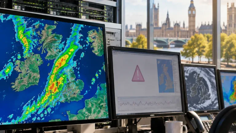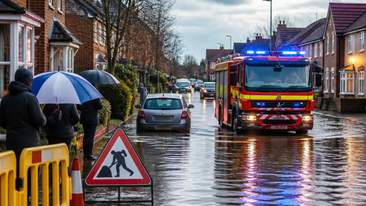
The Met Office has issued a 12-hour yellow weather warning for most of Wales on Saturday as Storm Boelo follows on the heels of earlier unsettled weather. The alert runs from 11:00 until 23:00, with forecasters warning of a mix of heavy rain and strong gusts that could cause travel disruption, damage and temporary loss of services.
Where the warning applies
The advisory covers a wide sweep of the country, including the south Wales urban corridors and large rural counties in the north and west. Areas specifically named in the Met Office bulletin include:
- Blaenau Gwent, Bridgend, Caerphilly, Cardiff, Carmarthenshire and Ceredigion
- Conwy, Denbighshire, Flintshire, Gwynedd and the Isle of Anglesey
- Merthyr Tydfil, Monmouthshire, Neath Port Talbot, Newport and Pembrokeshire
- Powys, Rhondda Cynon Taf, Swansea, Torfaen, Vale of Glamorgan and Wrexham
What the Met Office says about impacts
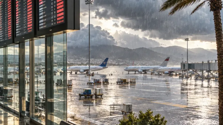
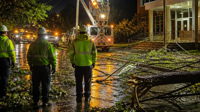
Forecasters advise there is the possibility of power outages and interruption to other services such as mobile phone coverage. Infrastructure impacts may lead to longer journey times, cancellations on road, rail, air and ferry services, and in some cases temporary closures of roads and bridges.
"There is a small chance of injuries and danger to life from flying debris. Some damage to buildings and trees, such as tiles blown from roofs and large branches or trees blown over, could happen," the Met Office bulletin states.
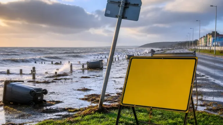
Coastal communities face additional hazards. The warning notes a risk to people and property from large waves and debris hurled onto seafronts and coastal roads.
Context: recent gusts and sequence of storms
The new yellow warning follows the expiration of an amber alert associated with Storm Austen. Observations earlier in the week recorded hazardous gusts as the first named storm passed: 76 mph at St Mary’s Airport in the Isles of Scilly and 74 mph at Aberporth.
Those recordings underline how rapidly conditions can escalate, particularly in exposed coastal and elevated locations. While the current alert is lower than the previous amber warning, the Met Office emphasises there remains a chance of structural damage and danger from airborne debris.
How to prepare and reduce risk
Public guidance from the Met Office and emergency services focuses on straightforward measures to limit harm and disruption. Practical steps include:
- Check and secure loose items outside homes — bins, garden furniture and trampolines can become dangerous projectiles
- Prepare for short-term power loss: charge essential devices, have torches and spare batteries, and consider alternative ways to heat or cook if you rely on electricity
- Avoid travelling during the warning window if possible; if travel is necessary, allow extra time and plan routes that avoid exposed bridges and coastal roads
- Keep pets and livestock sheltered and ensure any outdoor property is secured
- Stay away from coastal promenades and beaches during stormy conditions to avoid being hit by large waves or thrown debris
Homes and businesses in vulnerable locations should review contingency plans and make sure loose roofing materials are checked where it is safe to do so. Where there is immediate danger from fallen trees or downed power lines, people should contact the emergency services and keep well clear.
Short-term outlook
The yellow warning is strictly time-limited to the 12-hour period on Saturday evening. Forecasters expect conditions to change after the alert period, with a possible easing of the worst weather; however, local impacts may persist longer, particularly where infrastructure has been affected.
| Feature | Details |
|---|---|
| Warning level | Yellow (12 hours) |
| Timing | 11:00–23:00 on Saturday |
| Recorded gusts earlier in the week | 76 mph (St Mary’s Airport), 74 mph (Aberporth) |
| Main hazards | Heavy rain, strong winds, risk of power cuts, travel disruption, coastal wave impacts |
Local authorities, transport operators and utility companies will issue further updates if conditions deteriorate. For anyone in the affected areas, the sensible approach is to follow official advice, secure property now while it is safe, and stay informed through the Met Office and local emergency channels.