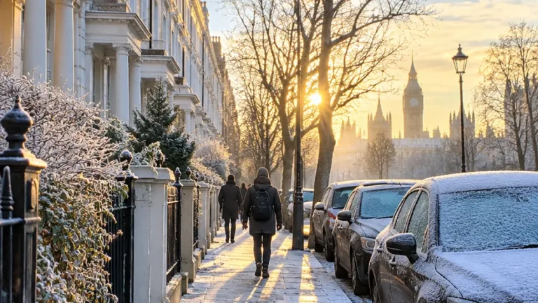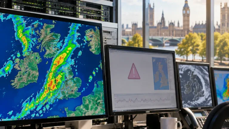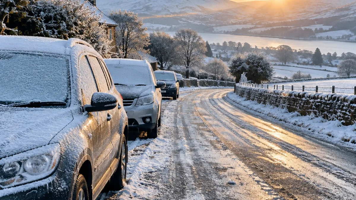
Cold health alerts will take effect across three parts of England on Sunday evening as frosty conditions persist, with forecasters also warning of a risk of ice, difficult travel and hill snow in parts of the UK.
The UK Health Security Agency (UKHSA) has issued alerts for the North West, West Midlands, and Yorkshire and The Humber. They will begin at 9pm on Sunday and remain in place until 9am on Thursday.
The system indicates that the weather could have a minor effect on health and social care services. However, the agency said colder conditions can lead to increased demand for healthcare and create a greater risk to life for people who are vulnerable to low temperatures.
Advice for people at greater risk
Paul Coleman, a consultant in public health at the UKHSA, said cold weather could have a serious effect on some people, particularly those aged 65 and over and those living with pre-existing health conditions.
“It is vital to check in on friends, family and neighbours who are most vulnerable.”
Mr Coleman said people should, where possible, concentrate heating on the rooms they use most and wear warm clothing during colder periods. The UKHSA also described the current alert as the latest of the season, adding that further alerts could be issued as winter progresses.
- Check on older people, neighbours and relatives who may be more affected by cold weather.
- Keep the rooms used most regularly heated where this is possible.
- Dress warmly during colder spells and take extra care when travelling in icy conditions.
Rain, strong winds and snow risks
The wider forecast points to a changeable Sunday. Passing showers are expected to move across Wales and southern England during the day, with some potentially thundery in the far south-west. Northern England and southern Scotland are likely to see more persistent rain, while strong winds are forecast to reach north-eastern coasts later in the day.
Northern Scotland and Northern Ireland are expected to have brighter but colder conditions. Some showers may turn wintry, with snow possible over the hills. The combination of earlier rain and overnight cold is important for travel planning: roads may become icy as temperatures fall after wet conditions.
Forecaster warns of hazardous travelling conditions
Ethan Douglas, an operational meteorologist at the Met Office, said there was a risk of ice during Sunday night and Monday morning. He said the preceding rain followed by a cold night could produce disruptive ice, while the snow threat would be mainly limited to Scottish hills.
That pattern means the most widespread concern is not necessarily heavy snowfall, but the formation of icy surfaces after rain. Drivers and other travellers may encounter hazardous conditions, particularly overnight and during the Monday morning period. The forecast also combines several different risks: rain in northern areas, showers farther south, stronger winds on north-eastern coasts and wintry precipitation over higher ground.
| Area or period | Expected conditions |
|---|---|
| North West, West Midlands, Yorkshire and The Humber | Cold health alerts from 9pm Sunday to 9am Thursday |
| Wales and southern England | Passing showers, with some possibly thundery in the far south-west |
| Northern England and southern Scotland | More persistent rain, followed by an ice risk overnight |
| Northern Scotland | Colder weather with some wintry showers and hill snow |
Preparing for a colder spell
The alerts are designed to draw attention to the potential health consequences of cold weather, rather than to suggest that all services will be seriously disrupted. Their practical significance is that vulnerable people may need additional support while temperatures remain low, and that healthcare use could rise.
For the public, the immediate priorities are to stay warm, monitor the forecast and allow additional time for journeys during the period when ice is most likely. Checking on people who may be less able to heat their homes or manage colder conditions can also help identify problems early. With the alerts lasting into Thursday and the UKHSA warning that further cold alerts may follow, the advice remains relevant beyond the first icy night.