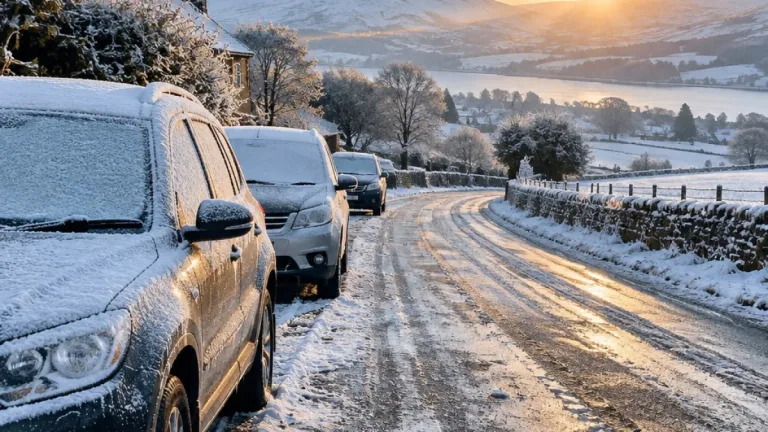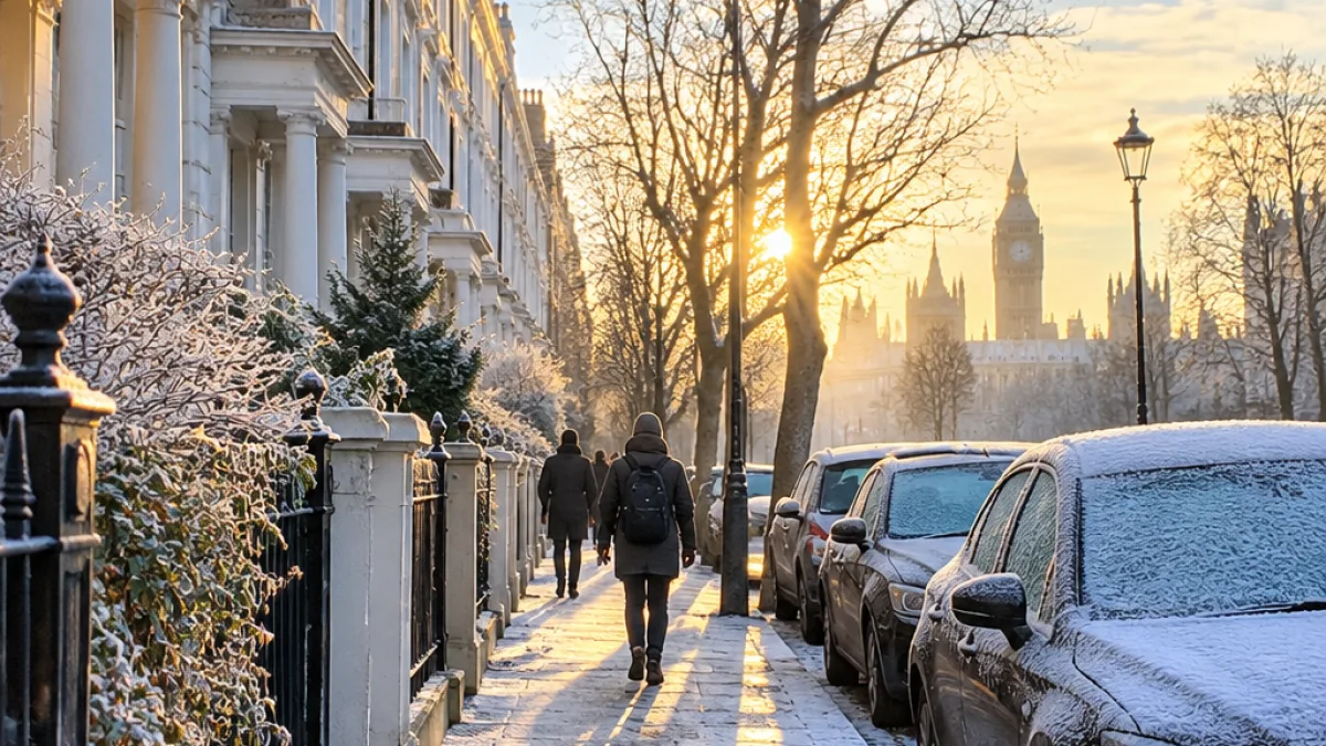
London experienced its first sub-zero temperatures of the season as a colder spell moved across the UK, leaving parts of the capital with frosty scenes on Saturday morning.
Temperatures fell as low as -2C in London overnight, following warnings from forecasters that the capital and much of the country were entering a markedly colder phase. The change brought a sharp break from the milder conditions seen earlier in the autumn, with frost becoming widespread in parts of the UK.
The Met Office said daytime temperatures were expected to remain in single figures for most locations. Its chief forecaster, Chris Bulmer, described the national outlook as a move into a colder phase, signalling that the chill would not be confined to the early hours.
“The UK forecast has moved to a colder phase with the daytime temperatures for most locations likely to stay in single figures.”
Friday saw the first extensive frost of the autumn, while the country’s lowest temperature of the season so far was recorded on Thursday. Sennybridge, near Brecon in south Wales, reached -6.6C, while Shap, near Penrith in Cumbria, fell to -6.5C.
For London, the overnight low was less severe than those rural readings, but the change remains significant for people travelling early, working outdoors or relying on accommodation and heating that may be affected by the colder conditions. The source information does not indicate disruption to the capital’s transport network, but the forecast includes the possibility of icy conditions in parts of the country.
Rain, sleet and snow in the forecast
The wider UK outlook is unsettled as well as cold. Met Office deputy chief forecaster Steven Keates said the weather would be changeable, with spells of rain, sleet and snow possible over higher ground.
“The outlook is changeable with spells of rain, sleet and some hill snow.”
Sunday is expected to bring rain or showers to many areas as low pressure moves across the country. Northern Scotland is forecast to see the most persistent precipitation, with snow increasingly possible later in the day. The Met Office said most of that snow was likely to fall over high ground, although some could reach lower levels.
Ice is also expected to be a hazard in the unsettled conditions. The warning is particularly relevant after a night when temperatures in London and elsewhere dropped below freezing, although no specific London ice warning was included in the information available.
| Location or area | Weather detail |
|---|---|
| London | Overnight low of -2C |
| Sennybridge, south Wales | Seasonal low of -6.6C |
| Shap, Cumbria | Seasonal low of -6.5C |
| Northern Scotland | Persistent rain, with snow possible later |
Health concerns as colder weather arrives
The UK Health Security Agency issued its first yellow cold-health alert of the season earlier in the week. The alert covered the North West and West Midlands, rather than London, and ran from 9am on Thursday until noon on Saturday.
UKHSA said colder weather can increase pressure on health services and raise the risk to life for vulnerable people. Its warning comes as forecasters anticipate further cold-health alerts as winter advances.
“This is the first cold-health alert of the winter, but we can expect more as we move further into the season.”
The warning places the current conditions in a broader public-health context. While the alert was not issued for London in the source information, the capital has already seen freezing temperatures, and the Met Office has warned of a greater chance of winter hazards in its longer-range outlook.
Colder conditions possible in early December
The longer-range forecast points to a potentially colder start to December across southern Britain. The Met Office said a blocked weather pattern could develop in the early part of the month, increasing the likelihood of colder conditions overall.
For the period from 28 November to December 11, the forecaster expects further rain to be probable across southern and possibly central areas. The information does not provide a specific temperature forecast for London that far ahead, but it identifies southern Britain as one of the areas that could face some of the worst weather.
London’s Saturday frost is therefore part of a wider shift rather than an isolated overnight event. The immediate forecast combines cold mornings with the possibility of rain, sleet and icy conditions, while the outlook towards December remains unsettled. Residents, commuters and those supporting vulnerable people will be watching for further Met Office and health-agency updates as the colder phase continues.