Environment Canada has issued a special weather statement for parts of the British Columbia Interior, forecasting the season’s first substantial lower-elevation snowfall in areas including Kamloops and 100 Mile House. Meteorologists say the event, beginning late Tuesday, will produce very localized pockets of heavy snow with accumulations that could reach 10 centimetres in some places.
What to expect and where
The agency attributes the snow to a low-pressure, unstable air mass moving over the region. Forecasters say snow levels will fall rapidly, with the freezing line dropping to around 600 metres, increasing the likelihood that valley floors and lower mountain routes will see snow rather than rain.
"very localized pockets of heavy snow"
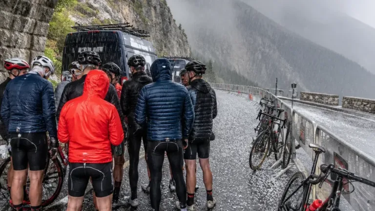
That phrasing reflects a key forecasting challenge for motorists and communities: the snow will not be uniform. Some roads and neighbourhoods could see only light flurries while nearby areas experience several centimetres in a short time. Environment Canada also warned of sudden reductions in visibility where heavy bands set up.
Road impacts and travel preparedness
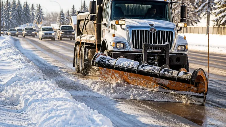
Officials have not issued region-wide closures, but the quick hit-and-miss nature of the expected snowfall raises the risk of rapidly changing driving conditions. Winter tyres, slow speeds, and extra travel time will be prudent choices for anyone using highways or rural roads across the Thompson and Chilcotin.
- Observed maximum accumulation: up to 10 cm in pockets
- Predicted snow level: around 600 m
- Primary affected areas: Kamloops, 100 Mile House, Thompson and Chilcotin regions
Further north, separate forecasts show a more significant snowfall threat: a snowfall warning is in place along Highway 97 northwest of Fort Nelson in the Tetsa River area, where meteorologists expect as much as 25 centimetres by Wednesday afternoon. Environment Canada says driving in that corridor will be challenging and delays should be anticipated.
Context: El Niño and seasonal trends
Forecasters have linked the broader pattern to a developing super El Niño, a climate phenomenon already discussed by Environment Canada for its potential to shape winter weather. While El Niño does not determine precise snowfall amounts locally, it can influence the distribution and intensity of storm systems across the Pacific, meaning intermittent heavy snow events at lower elevations are plausible as the season begins.
Local consequences and public advice
For communities in the Interior, even a modest accumulation can affect municipal services, emergency responders and supply chains that rely on road access. School boards, transit operators and municipal crews will be watching conditions overnight. Residents should also be mindful of microclimates: sheltered valleys and wind-exposed ridges may experience very different conditions within a few kilometres.
Environment Canada’s statement emphasises that the heaviest snow is likely to be localized, so staying informed with up-to-date forecasts and highway reports is essential. Practical steps for residents and travellers include checking local road conditions, allowing extra travel time, ensuring vehicles are winter-ready and carrying basic emergency supplies if driving through rural stretches.
What to monitor
The following table summarises the key elements of the forecast and where impacts are expected.
| Area | Potential snowfall | Notes |
|---|---|---|
| Kamloops and vicinity | Up to 10 cm in pockets | Snow levels falling to ~600 m; variable visibility |
| 100 Mile House & Thompson region | Up to 10 cm locally | Rapid changes possible; check local reports |
| Tetsa River / Hwy 97 (NW of Fort Nelson) | Up to 25 cm | Snowfall warning; driving expected to be challenging |
Readers with travel plans across the Interior should consult Environment Canada updates and DriveBC advisories for the latest conditions. As winter starts to assert itself, the patchiness of early-season storms will be a defining feature — manageable if communities and travellers prepare, disruptive if they do not.
Local authorities and road operators will be monitoring the situation overnight and into Wednesday. ZTL will continue to follow updates from Environment Canada and regional traffic services as conditions evolve.