Warm Halloween afternoon before a damp turn
Thunder Bay is set for a relatively mild Halloween, but the clear and sunny start to Saturday is expected to give way to more unsettled conditions after dark. The latest forecast, issued by Environment Canada at 7:37 a.m. EDT on Oct. 31, 2026, calls for morning fog to clear before sunshine takes over through the day.
The temperature is forecast to climb to 10 C in Thunder Bay, while winds remain light at no more than 15 km/h. An early wind chill near -5 C means the morning may feel distinctly colder than the afternoon, making conditions changeable for people heading out early and those preparing for evening activities.
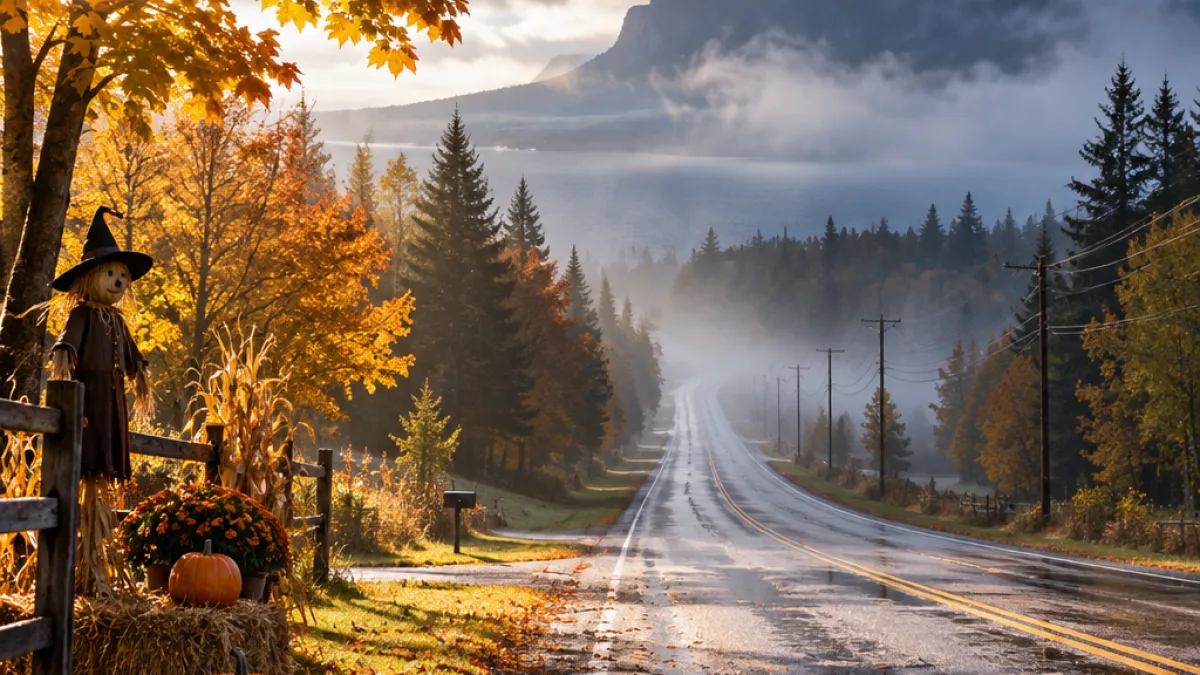
The sky is expected to clear Saturday evening before cloud returns later at night. There is a 40 per cent chance of drizzle overnight, and fog is expected to develop around midnight. Environment Canada had issued no active weather alerts for Ontario at the time of the update, but reduced visibility remains the main practical concern once darkness sets in.
Visibility concern for late-night travel
Fog could affect several routes in and around the city, including Highway 11/17, Highway 61 and Highway 102, as well as rural roads west of Thunder Bay. The possible drizzle may also leave pavement damp, adding another consideration for drivers travelling later Saturday night or early Sunday.
- Thunder Bay and Kakabeka Falls are forecast to reach 10 C on Saturday.
- Fog is expected to develop near midnight, with a 40 per cent chance of drizzle overnight.
- Sunday is expected to remain cloudy, with fog clearing around noon in Thunder Bay.
- Showery conditions are expected to continue into Monday.
For people wearing costumes, the forecast update recommends practical steps that do not depend on the temperature alone. Reflective material can make costumes easier to see near traffic, while trailing fabric may create a hazard around vehicles. A light rain shell and water-resistant footwear could also be useful later in the evening if drizzle develops.
Mild start to November
The mild pattern is expected to continue after Halloween, although sunshine will be limited. Thunder Bay is forecast to remain cloudy Sunday, with a 40 per cent chance of drizzle and a high of 13 C. Fog should ease near noon. The overnight low is expected to reach 8 C, with a 30 per cent chance of showers Sunday night.
Kakabeka Falls is forecast to be slightly warmer Sunday, reaching 14 C under cloudy skies. The area has a 30 per cent chance of showers, followed by a low of 7 C overnight. On Monday, both communities are expected to stay cloudy with a 30 per cent chance of showers and highs near 14 C. The chance of showers rises to 60 per cent Monday night, although no rainfall total was provided in the official forecast.
| Period | Thunder Bay forecast | Travel consideration |
|---|---|---|
| Saturday | Sunny after morning fog; high 10 C | Cool early, comfortable later |
| Saturday night | Cloud increasing; drizzle possible; fog near midnight | Visibility may be reduced |
| Sunday | Cloudy; high 13 C; fog clearing near noon | Showers possible |
| Monday | Cloudy; high near 14 C | Showers remain possible |
The forecast reflects the moderating influence of Lake Superior, whose temperature changes more slowly than the nearby land. That difference can soften temperature swings close to the shoreline, while inland locations such as Kakabeka Falls can experience somewhat different conditions. For Thunder Bay residents, the broader message is a warm but changeable transition: a bright Halloween afternoon, followed by lower visibility and damp conditions overnight and a mild, cloudy start to November.