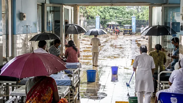

Post-landfall system continues to affect large region
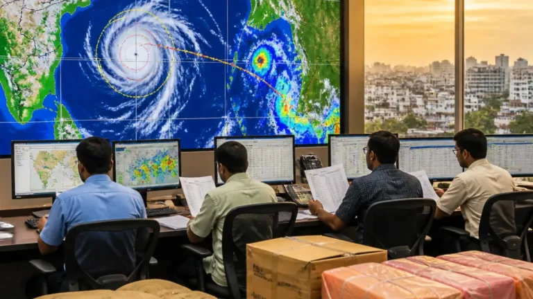
Severe Cyclonic Storm Murasu made landfall along the South Andhra Pradesh coast near Ongole early Tuesday, but its weather impact is expected to continue across southern and central India. The system, which brought winds of 100–110 kmph and gusts reaching 120 kmph, was moving northwestwards after crossing the coast. The India Meteorological Department expects it to weaken into a deep depression by midnight, although heavy rain, thunderstorms and damaging winds remain possible in several states.
The latest weather warnings cover Andhra Pradesh, Telangana, Chhattisgarh, eastern Madhya Pradesh, Odisha and West Bengal, with conditions expected to remain active through November 4. The system has already produced intense rainfall, with 22 cm recorded at Bapatla. Even as the cyclone loses strength over land, its circulation is continuing to feed moisture into areas away from the coast, raising the risk of very heavy spells and storm activity.
Andhra Pradesh faces the strongest immediate impact
Coastal Andhra Pradesh, Yanam and Rayalaseema remain among the areas under the most significant threat. After the landfall, the coastal belt was forecast to receive extremely heavy rainfall on November 3, followed by very heavy rain on November 4. Strong winds of 95–105 kmph are also expected in the affected areas. Rayalaseema has been included in the heavy rainfall forecast as the system moves further inland.
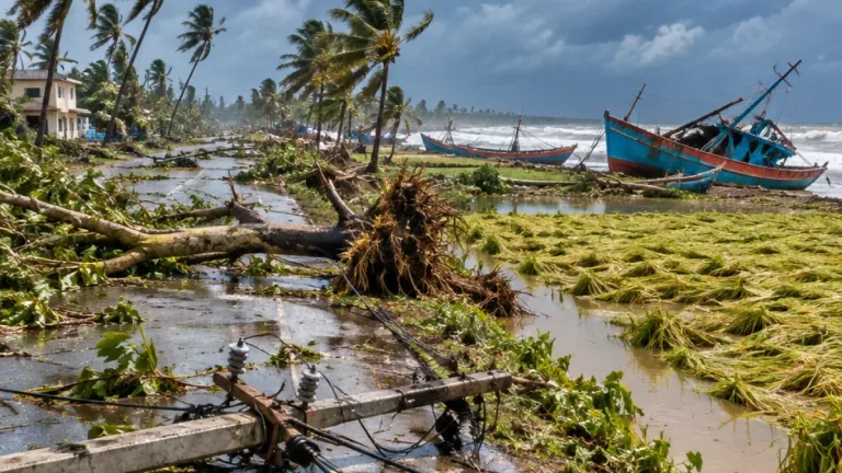
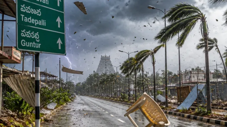
The cyclone crossed the coast between Nellore and Narsapur, according to the weather update. Its passage over coastal districts has brought a combination of intense rain and high winds, conditions that can disrupt transport, damage vulnerable structures and affect standing crops. The continued rainfall threat means that impacts may persist even after the centre of the system has moved away from the shoreline.
Rain and thunderstorms to spread into central India
Telangana is forecast to receive extremely heavy rainfall on November 3 in areas adjoining the storm's track. As Murasu advances northwestwards, the weather system is also expected to produce heavy spells across southern and central Chhattisgarh. The IMD has placed 19 districts of Chhattisgarh under alert on Tuesday and 15 districts under alert on Wednesday for rain, thunderstorms and lightning.
Southern and central parts of Chhattisgarh may see heavy rainfall accompanied by winds of 40–50 kmph, with gusts up to 60 kmph, during November 3 and 4. Thunderstorms and lightning are also expected in eastern Madhya Pradesh. These conditions can create short-duration hazards even in locations that do not experience the cyclone's strongest winds.
Eastern states remain under weather watch
Odisha and West Bengal are likely to receive fairly widespread to widespread rainfall during November 3 and 4. Odisha may experience thunderstorms, lightning and winds of 30–40 kmph, with gusts reaching 50 kmph. Isolated rainfall is expected to continue in the state from November 5 to 7, indicating that the wider weather disturbance could retain some influence after the main system weakens.
Heavy rainfall has also been recorded during the preceding 24 hours over Tamil Nadu, Jharkhand and the islands mentioned in the weather update. The spread of rainfall beyond the landfall zone underlines the need for continued monitoring across the cyclone's inland path rather than only along the Andhra Pradesh coast.
Key forecast areas and risks
| Region | Forecast or warning | Period |
|---|---|---|
| Coastal Andhra Pradesh, Yanam and Rayalaseema | Extremely heavy to very heavy rain; winds up to 95–105 kmph | November 3–4 |
| Telangana | Extremely heavy rain in adjoining areas | November 3 |
| Chhattisgarh | Heavy rain, thunderstorms and lightning; gusts up to 60 kmph | November 3–4 |
| Odisha and West Bengal | Widespread rainfall; thunderstorms and strong winds in Odisha | November 3–4 |
With the storm weakening but the rainfall field remaining broad, the immediate priority is to track local warnings for intense rain, lightning and gusty winds. People in the affected states should remain alert to updates from the IMD and local authorities, particularly in areas vulnerable to flooding, fallen trees, power disruption and damage to crops or infrastructure. The cyclone's transition from a severe coastal storm to a deep depression is expected to reduce wind intensity over time, but it does not remove the risk of hazardous weather immediately.