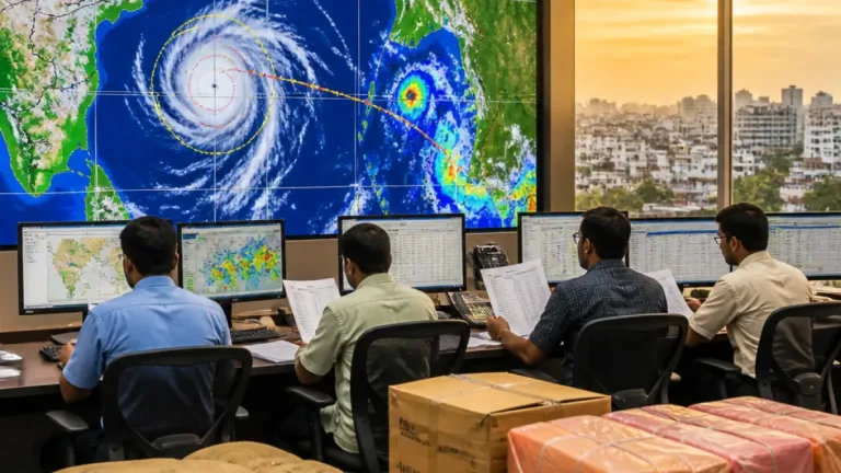
A new weather system over the Bay of Bengal is expected to strengthen into a cyclonic storm within the next 24 hours and move towards the Andhra Pradesh coast by the evening of November 2, the India Meteorological Department said on Saturday. The forecast has raised the possibility of another spell of severe weather in the state only days after Cyclone Arnab crossed the Andhra Pradesh and Yanam coasts.
In its bulletin issued at 8.30 am on October 31, the IMD said the disturbance was likely to become a depression within six hours over the same region. It was then expected to intensify further during the following 24 hours while travelling west-northwestwards towards the west-central Bay of Bengal. The department, however, has not forecast a landfall at this stage.
System gaining strength over the Bay
The disturbance began as a low-pressure area over the South Andaman Sea, the adjoining North Andaman Sea and the Andaman and Nicobar Islands. It subsequently became a well-marked low-pressure area over the southeast Bay of Bengal and nearby areas. The projected path would take the system towards the west-central Bay, close to the Andhra Pradesh coast.
| Forecast stage | Expected timing or area |
|---|---|
| Depression | Within six hours of the October 31 morning bulletin |
| Cyclonic storm | Likely during the next 24 hours |
| Near Andhra coast | Around the evening of November 2 |
| Landfall | Not forecast by the IMD at this stage |
The immediate significance for coastal Andhra Pradesh lies in the uncertainty surrounding the system's final intensity and track. A projected approach to the coast does not by itself confirm a crossing over land, but it can still bring rough seas, strong winds and rainfall to coastal districts. The IMD has specifically warned of rough sea conditions along the Andhra Pradesh coast as the system advances.
Fresh threat after Cyclone Arnab
The forecast comes after Cyclone Arnab crossed the Andhra Pradesh and Yanam coasts on October 28. The earlier storm left at least five people dead and caused extensive damage to infrastructure and crops. The short interval between the two weather events is significant for communities dealing with damaged roads, disrupted services and agricultural losses.
For farmers, another period of adverse weather could increase the risk to standing crops and produce awaiting harvest, particularly in areas exposed to strong winds or waterlogging. The latest bulletin does not provide district-wise rainfall totals or crop-specific warnings, so the effect on individual farming regions will depend on the system's eventual track, intensity and associated rain bands. The uncertainty makes frequent monitoring of subsequent IMD advisories important for decisions involving harvesting, storage and movement of farm produce.
- The system is likely to become a depression within six hours of the Saturday morning bulletin.
- It may intensify into a cyclonic storm over the next 24 hours and reach the west-central Bay near Andhra Pradesh by November 2 evening.
- Coastal Andhra Pradesh may experience rough seas and winds of 30-40 kmph, with gusts up to 50 kmph, until November 1.
The wind forecast covers coastal Andhra Pradesh, Yanam and Rayalaseema until November 1. Winds of 30-40 kmph, with gusts reaching 50 kmph, can complicate work around exposed structures, transport of materials and coastal activities. The advisory also reinforces the need for fishing and marine operations to follow the latest sea-condition warnings, although the bulletin does not announce any specific suspension or evacuation measure.
Rainfall outlook beyond Andhra
The weather system is also expected to influence rainfall over other parts of southern India. The IMD has forecast heavy rain in Tamil Nadu, Puducherry and Karaikal until November 5. Kerala and Mahe may receive heavy rainfall until November 4. These forecasts indicate that the system's wider effects could extend beyond the Andhra coast even as its exact land interaction remains uncertain.
For Andhra Pradesh, the central issue over the next two days will be whether the system continues on its projected west-northwestward course and how rapidly it intensifies. The absence of a landfall forecast means the situation remains under watch rather than representing a confirmed direct strike. The next advisories are expected to provide greater clarity on the storm's movement, strength, rainfall distribution and possible coastal impact.
With Cyclone Arnab's damage still recent, the new alert places a premium on protecting people, infrastructure and agricultural assets before conditions deteriorate. Coastal communities, farmers and transport operators will need to base decisions on updated official forecasts rather than the current projected track alone. The IMD's latest assessment establishes November 2 as the key date for monitoring the system's proximity to Andhra Pradesh.