
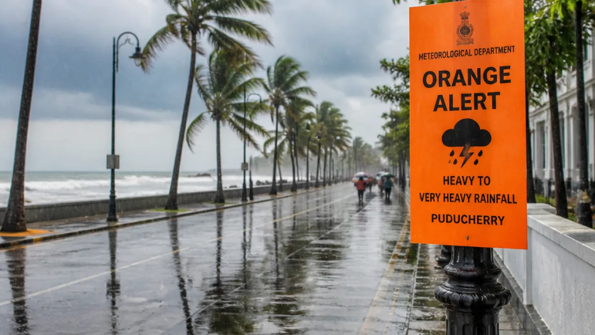
New Delhi: The India Meteorological Department (IMD) has issued a multi-day warning of heavy to very heavy rainfall over Tamil Nadu, Puducherry and Karaikal, saying the spell is likely to continue through October 26. The alert follows the likely formation of a low pressure area over the southwest Bay of Bengal and adjoining Tamil Nadu coast within the next 24 hours, the IMD said in its advisory for October 20–26.
Where and when the rain is expected
The IMD mapped out a staggered timeline for intense showers across the southern peninsula and Lakshadweep, with different pockets facing peak rainfall on varying dates. The department highlighted that while Tamil Nadu, Puducherry and Karaikal face an extended spell, other areas will see short windows of heavy rain.
- Tamil Nadu, Puducherry & Karaikal: Heavy to very heavy rainfall likely to continue till 26 October.
- Kerala & Mahe: Isolated heavy rainfall expected during 20–26 October.
- Lakshadweep: Heavy showers likely from 22–26 October.
- South Interior Karnataka: Isolated heavy rainfall likely between 21–24 October.
- Coastal Andhra Pradesh & Yanam, and Rayalaseema: Heavy rain possible on 20–21 October.
"Heavy to very heavy rainfall is likely to continue over Tamil Nadu, Puducherry & Karaikal till 26 October," the IMD said on Twitter as part of its formal advisory.
Why the alert has been raised
The IMD linked the forecast to the probable development of a low pressure area over the southwest Bay of Bengal and nearby Tamil Nadu coast in the next 24 hours. Such systems can enhance moisture inflow and lead to prolonged, intense precipitation along and inland of the coast.
| Area | Outlook | Period |
|---|---|---|
| Tamil Nadu, Puducherry, Karaikal | Heavy to very heavy rainfall | Up to 26 Oct |
| Kerala & Mahe | Isolated heavy rainfall | 20–26 Oct |
| Lakshadweep | Heavy showers | 22–26 Oct |
| South Interior Karnataka | Isolated heavy rainfall | 21–24 Oct |
| Coastal Andhra Pradesh & Yanam, Rayalaseema | Heavy rainfall possible | 20–21 Oct |
Implications and preparedness
The multi-day nature of the forecast means agencies in the affected states should prepare for sustained rainfall-related impacts, including urban flooding, waterlogging, disruption to road and rail movement, and possible damage to crops in low-lying agricultural belts. Ports and coastal installations should maintain heightened readiness while local authorities may need to review evacuation and relief plans for vulnerable communities.
Weather warnings of this duration also weigh on power distribution networks and mobile connectivity in heavy-impacted pockets; public works departments are usually advised to keep drainage clearing and emergency repair crews on standby. The IMD advisory underlines the need for residents and commuters to monitor district-level alerts and follow instructions issued by state disaster management authorities.
The department's advisory was published on social media and through its official channels as part of routine public weather guidance for the coming week. Users are advised to follow local meteorological offices and district administrations for real-time updates and specific safety instructions.
For travellers: Those planning road or rail journeys across southern India over the next week should check the status of services and anticipate delays. Coastal fishing communities are usually advised to avoid venturing into rough seas while the low pressure area develops and influences wind and wave conditions.
The IMD will continue to monitor the system and issue updated warnings as the low pressure area evolves and its coastal trajectory becomes clearer.