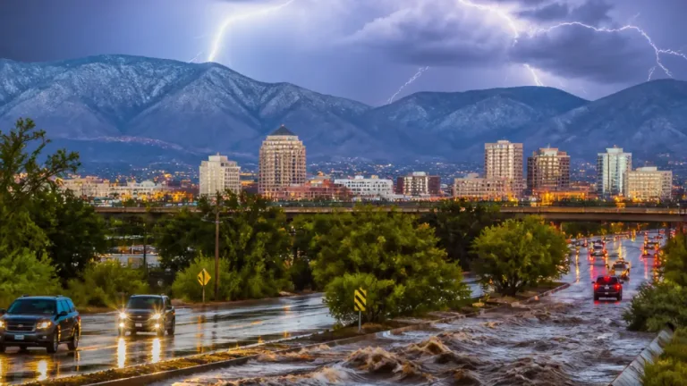
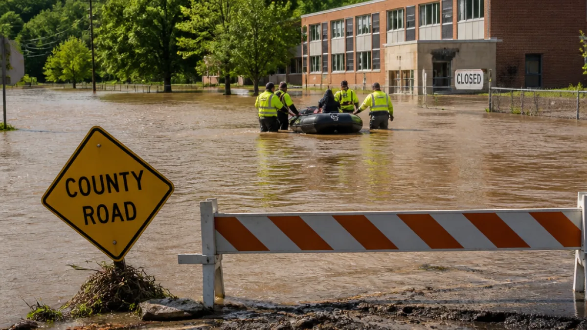
Heavy rainfall over the past several days has produced severe flooding across the Four Corners region, forcing residents from their homes, prompting staged rescues and shutting key stretches of roadway in northwestern New Mexico.
Flooding overwhelms saturated ground
Local emergency managers say the storms that began midweek dumped several inches of rain on terrain already saturated by recent wet weather. Officials reported roughly 4 inches of rain between Wednesday and Friday in parts of the region, with another 1 inch possible on Saturday. The additional precipitation, they warned, could push rivers higher even as some floodwaters begin to recede.
In San Juan County, emergency management posted a cautionary note on Facebook stating that while some floodwaters may fall back, the risk of renewed rises in river levels remains.
Rescues, power outages and evacuations in New Mexico
Authorities staged at least 20 rescues in the Farmington and Shiprock area, where officials urged evacuations for about 600 homes. Local utilities reported that around 1,500 people were without power in the affected areas.
"We may see some floodwaters receding, but there will be more rain, and the rivers are expected to rise again."
Farmington Police Chief Steve Hebbe described the flooding during a Friday news conference as a "once in a generation" event, reflecting the scale and speed of the inundation that surprised many residents and stretched first-responder resources.
Road and bridge closures disrupt travel
Transportation officials reported multiple closures caused by standing water or damage:
- A two-mile section of U.S. Highway 64 west of Shiprock was closed due to standing water blocking the approach into town.
- A four-mile stretch of New Mexico 371 south of Farmington was shut where flooding covered a bridge over the San Juan River.
Those closures affect regional travel and access to communities that rely on the highways for daily commutes and deliveries, compounding the disruption from power outages and evacuations.
Regional context: storms stretch across the Southwest
The flooding is part of a broader period of severe weather that has swept across the Southwest this week. Storm cells and the remnants of tropical moisture brought heavy rain to parts of Arizona, Utah and Colorado as well, swamping homes and contributing to dangerous flash flooding. In Utah, dozens of homes were inundated; in Arizona, tornadoes damaged roofs, felled trees and downed power lines.
Officials in southern Colorado reported river levels much higher than expected — in some spots as much as three feet above what had been considered a 100-year flood level just a year earlier — underscoring how exceptional this event has been across the region.
What officials are advising residents
Emergency managers continue to urge residents to heed evacuation orders, avoid driving through standing water and to stay informed through local emergency channels. Standing water across desert and rocky terrain can conceal washed-out sections of road and undermine bridges, making travel hazardous even when flooding appears shallow.
| Impact | Reported Figures |
|---|---|
| Rainfall (Wed–Fri) | ~4 inches |
| Additional rain possible (Sat) | ~1 inch |
| Rescues staged | 20 |
| Homes urged to evacuate | 600 |
| People without power | ~1,500 |
| Closed road sections | U.S. 64 (2 miles), NM 371 (4 miles) |
Outlook and recovery needs
With more rain forecast, emergency responders and public works crews face the twin tasks of rescue, sheltering displaced residents and assessing infrastructure damage. Restoring power and reopening closed highways will depend on water levels dropping and crews being able to safely access affected corridors.
For residents in flood-prone areas around Farmington and Shiprock, officials recommend preparing for potential repeated flooding episodes over the next 24 to 48 hours, keeping emergency supplies at hand and staying tuned to updates from county and state emergency management.
The storm sequence has ended a summer dry spell in parts of the Four Corners, but the abrupt shift to saturated soils and swollen rivers has produced a sudden, dangerous phase of hydrologic response. As the waters ebb and crews assess damage, the immediate priority remains lifesaving operations, evacuations and public safety messaging.