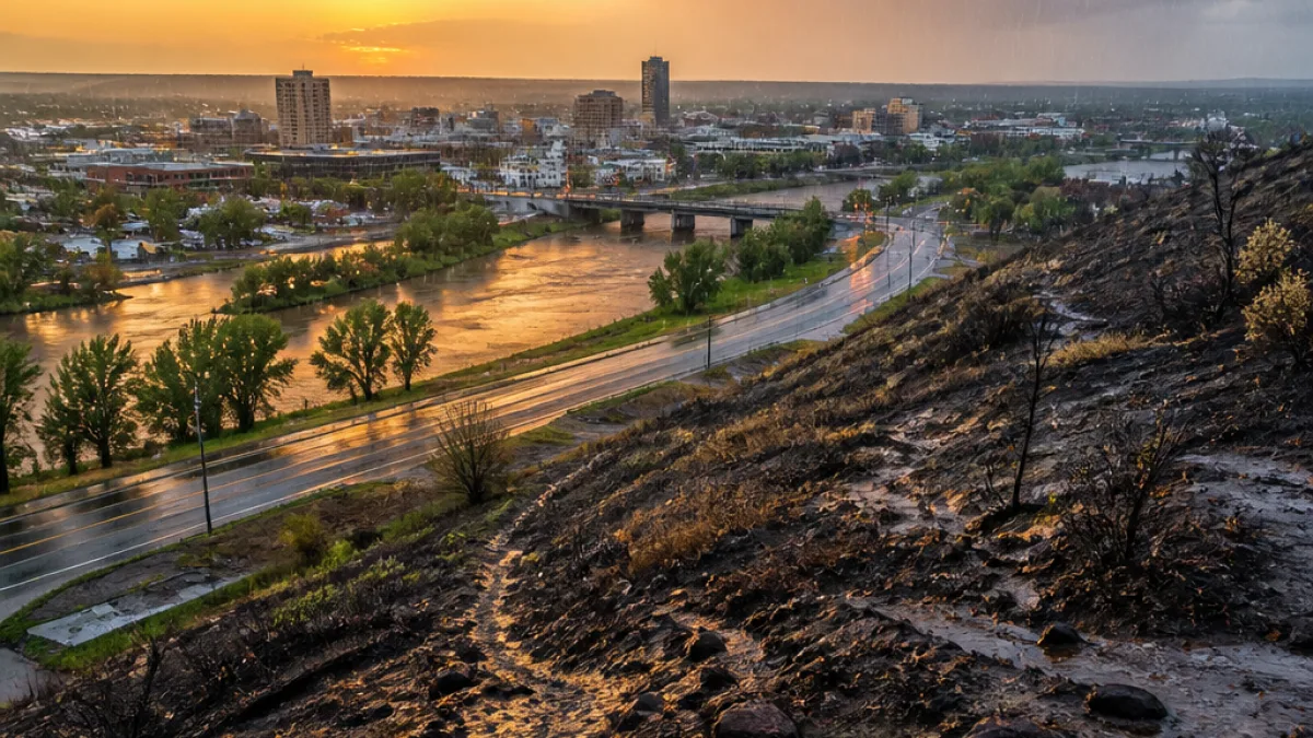
BILLINGS, Mont. — A compact, fast-moving weather system will sweep across south-central Montana late Monday and into Tuesday, bringing showers, gusty west winds and mountain snow to the northern Rockies before a return to mainly dry, seasonable conditions by midweek.
Timing, impacts and where to watch for snow
Rain and mountain snow showers are expected to move from west to east late Monday night, likely arriving in the Billings area shortly after midnight and continuing into Tuesday. The bulk of any accumulating snow will remain above 7,000 feet — mainly in the Crazy and Beartooth/Absaroka ranges — where a few inches are possible. Forecasters also warned that some snow could briefly mix into the foothills during the system's peak.
The National Weather Service discussion driving regional forecasts highlights a brief window of travel difficulty at higher elevations. In particular, Bozeman Pass could experience a period of reduced visibility and slick roads Tuesday evening as mountain precipitation and gusty flow combine.
"A quick-moving system brings showers and mountain snow tonight into Tuesday, followed by gusty winds."
Wind, temperatures and where the strongest gusts will be
Wind is expected to be the main story for valley locations, including Billings. Gusts from the west are forecast generally at 20 to 40 mph, with stronger gusts of 40 to 50 mph possible along the western foothills. These winds may cause travel disruptions for high-profile vehicles and generate blowing dust in drier areas.
| Area | Highs (Tuesday) | Wind gusts |
|---|---|---|
| Billings & lower elevations | Upper 40s to upper 50s | 20–40 mph |
| Hardin | Near 60s | 20–40 mph |
| Western foothills / passes | Cooler, mountain temps | 40–50 mph |
Short-term outlook and what to expect later this week
After Tuesday's system departs, drier air should prevail through Thursday for most lower elevations. High temperatures through midweek are forecast to be mostly in the 50s across the region, with breezy periods possible. Friday looks slightly cooler, with highs generally in the upper 40s to mid-50s.
Looking toward the weekend, models indicate Saturday should remain mainly dry at lower elevations. By Sunday, another larger weather system may approach the Northern Rockies, increasing the chance for rain and mountain snow showers and potentially setting up a more unsettled pattern into early next week.
What Billings-area residents and travelers should know
- Expect showers and localized mountain snow late Monday night through Tuesday; plan for isolated travel impacts at high passes.
- Prepare for gusty west winds Tuesday; secure loose outdoor items and use caution when driving, especially for high-profile vehicles.
- Temperatures will be seasonable for late October, mainly in the 50s for valley floors, with slightly warmer readings in sheltered lower elevations like Hardin.
For outdoor workers, ranchers and anyone who relies on mountain routes, the brief mix of mountain snow and wind can affect timing and safety. Boat and irrigation users on open water should also be mindful of gusts that can produce choppy conditions.
Local transportation agencies and the Montana Department of Transportation will be monitoring passes for hazardous conditions. If travel through Bozeman Pass or other higher routes is necessary, drivers should check current road reports and be prepared for rapidly changing conditions.
Forecasters emphasize that the main impacts are expected to be short-lived. Nonetheless, the combination of wind and a rapid temperature shift aloft serves as a reminder that mountain and foothill conditions can change quickly this time of year.
Updates and any advisories will be posted by local weather services and transportation officials as the system approaches.