
Rain moves in before midday
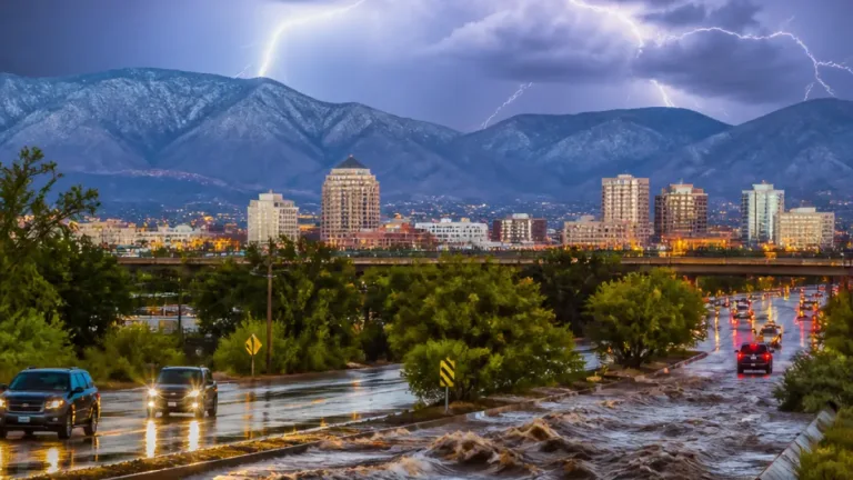
Oklahoma City residents should prepare for a wet Friday morning, as showers and a few thunderstorms move north across the city. Clouds are expected to hold the high near 71 degrees, while the most persistent rain is forecast from the morning through midday. Rain chances during that period are near 80%, making the timing especially important for commuters, workers traveling between locations and anyone with plans outside.
The rain is expected to become more scattered during the afternoon rather than continuing at the same intensity. Even so, an isolated shower could develop into the evening, and forecasters estimate that Oklahoma City could receive about one-quarter to one-half inch of rainfall. That amount may not produce a major weather emergency, but wet pavement and changing conditions can still alter travel times and complicate errands, school-related trips and outdoor activity.
The National Weather Service office in Norman said limited instability should keep the overall thunderstorm threat relatively low. A few storms remain possible, particularly during the morning. As of the current forecast, no watches, warnings or advisories are listed for Oklahoma City. Residents making travel or outdoor decisions will still need to account for the possibility that conditions change during the day, particularly while the morning rain is moving through.
Halloween plans face intermittent showers
Saturday is expected to remain unsettled for Halloween, though the forecast does not call for a daylong washout. Showers are possible with a 40% chance of rain and a high near 69 degrees. The expected pattern is one of occasional rain rather than continuous heavy precipitation, but wet sidewalks, cloudy skies and damp conditions could affect costumes, candy routes and outdoor gatherings across Oklahoma City.
For households and organizations that have tied weekend plans to outdoor activity, the forecast creates a practical timing issue. Friday's wetter period is expected to arrive before the holiday, while Saturday brings a lower but continuing chance of showers. Saturday night is forecast to be mostly cloudy, with only a 10% precipitation chance and a low near 58 degrees. Those conditions may provide a quieter end to the evening, although the ground could remain wet from earlier showers.
| Day | Forecast | High/Low |
|---|---|---|
| Friday | Morning and midday rain; scattered showers later | 71 degrees |
| Saturday | Intermittent showers possible | 69 / 58 degrees |
| Sunday | Mostly cloudy with a small daytime rain chance | 75 degrees |
| Monday | Showers and thunderstorms; stronger storms possible | 78 degrees |
Brief warmth before a larger change
Sunday is expected to bring a short break from the wetter pattern. Skies should remain mostly cloudy, but the temperature could climb to about 75 degrees, with only a small chance of rain during the day. Light winds from the south to southeast are forecast through the weekend, supporting the warmer conditions after Halloween.
The next more significant shift is expected Monday, when showers and thunderstorms are forecast with a high near 78 degrees. The possibility of stronger storms and heavier rainfall from Monday into Monday night makes another forecast check important for residents planning travel, work outside or other activities. Cooler conditions are expected Tuesday, when the high should be near 68 degrees with a slight chance of showers. Highs are forecast to stay around 68 through Thursday, while overnight temperatures fall into the upper 40s to low 50s.
- Allow extra time for Friday morning travel because of wet roads.
- Keep Halloween plans flexible as Saturday showers may arrive intermittently.
- Review the forecast again before Monday travel or outdoor work because stronger storms may develop.