The National Oceanic and Atmospheric Administration’s official winter outlook for 2026-27 highlights a rapidly strengthening El Niño that forecasters say is likely to favor a warmer winter across broad swaths of the United States and to alter typical storm tracks.
Why this season could be different
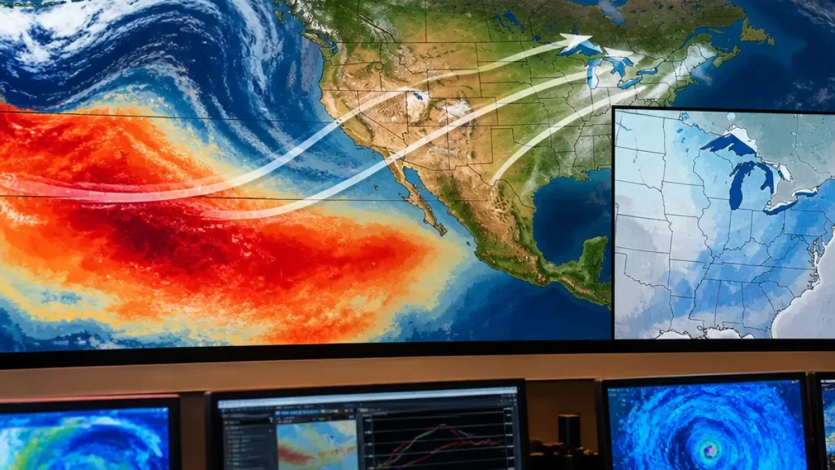
Forecasters point to a sharply warmer tropical Pacific Ocean as the primary driver. Ocean surface temperatures in the equatorial Pacific have risen markedly and are expected to peak this winter near record levels. That pattern — often labeled a strong or "super" El Niño when sufficiently intense — typically shifts the paths of mid-latitude storms and the distribution of cold air across North America.
Regional implications and limits of the outlook
In the Midwest’s Quad Cities region, NOAA’s outlook highlights an increased chance of above-average temperatures and a tendency toward lower seasonal snowfall totals. Historical analogs show strong El Niño events commonly reduce the frequency of prolonged arctic outbreaks and the number of major snow-producing storms in that part of the country.
- Warmer-than-average temperatures: A heightened likelihood across much of the central and northern U.S., according to the outlook.
- Generally reduced snow totals: Strong El Niño seasons are often associated with below-normal seasonal snowfall in areas such as the Midwest.
- Storm-track shifts: The jet stream tends to change position, which can mean fewer persistent Arctic intrusions but does not preclude individual, impactful winter storms.
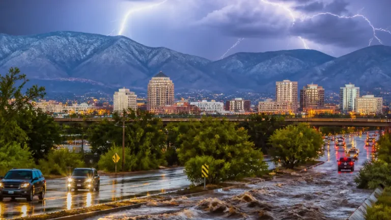
Officials and local meteorologists emphasize that a milder seasonal trend does not eliminate the chance for significant winter events. The presence of a strong El Niño typically lowers the probability of prolonged, extreme cold across the central U.S., but individual storms can still produce heavy snow, ice or wind in localized areas.
Historical context
The outlook cites past strong El Niño winters for context. For example, during the 2015-16 strong El Niño, total seasonal snowfall in the Quad Cities area ended up well below the long-term average, totaling just over 24 inches for the season. More broadly, climatological records show that the strongest El Niño episodes often align with lighter-than-normal snow seasons across parts of the Midwest.
| Indicator | What NOAA notes |
|---|---|
| Equatorial Pacific SSTs | Marked warming, projected to peak near record levels this winter |
| Temperature outlook | Elevated chances for above-average seasonal temperatures in many central and northern areas |
| Snowfall tendencies | Lower seasonal totals likely in several Midwest locations, though storms may still occur |
For communities and emergency managers, the practical takeaway is to treat the outlook as guidance for seasonal planning rather than a guarantee for every location or week. Road maintenance, public-health planning, and resource allocation should account for the higher probability of milder conditions, but retain flexibility for disruptive storms.
Local forecasters will continue to refine short- and medium-range projections as the season approaches and as atmospheric responses to the warm tropical Pacific become clearer. Residents in regions that historically rely on winter precipitation — for recreation, water supply or agriculture — should monitor updates from the National Weather Service and state climatologists for more detailed, location-specific guidance.
While the developing El Niño suggests a trend toward a milder and, in many places, drier winter across the United States, the season's week-to-week weather will still be shaped by transient storm systems and regional atmospheric dynamics.